What is recorded here
Lattin's Castle stood on the west side of North Main Street in Naas, a small square structure with an ancient appearance that may have been a fortified house or tower. Its stone foundations, nearly twenty metres wide, still lie buried beneath the town, marking the place where a Bridewell also stood. The castle has vanished from sight but not from the ground, waiting beneath modern streets for someone to dig again.
According to Bradley et al. (1986 vol. 4, 351), Lattin's Castle stood on the W side of North Main Street and was described by Cooper in 1782 as 'a small square castle of very ancient appearance'. It may have been either a fortified house or a small tower house (Price 1942, 28). In 1997, archaeological monitoring (Licence no. 97E0151: www.excavations.ie) of the mechanical excavation of a pipe trench at the presumed location of Lattin's Castle, led to the discovery of the foundations of a stone building or buildings which are probably the remains of the castle. The building was approximately 19m wide externally and 13.5m wide internally on the north-south axis. Towards the north end of the building there was one cobbled surface, suggesting that there may have been an entrance through the east wall of the castle at this point. The trench in which the wall foundations were located curved slightly from north to south; the wall was 7m east of the street building line at its northern end and 6.4m east of the street building line at its southern end. According to Bradley et al. (op. cit. 372), a Bridewell (KD019-030036-) is thought to have stood near Lattin's castle.
Compiled by: Gearóid Conroy
Date of upload: 10 June 2011
Lattin's Castle in Naas West was described in 1782 as a small square castle of ancient appearance, though its builders and exact date of construction remain uncertain. It is remembered for its historical presence in the area and as a noted site in early archaeological surveys.
The monument record does not grant public access. Check the route and ask the landowner before entering private land.
- What survives
- Recorded monument
Places near here
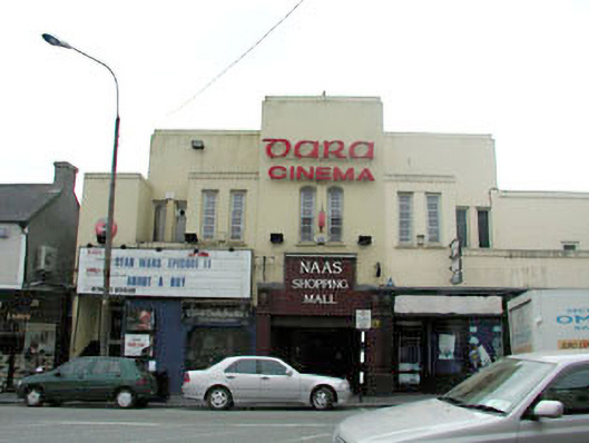 Dara Cinemacinema · 26 yd
 Site of Black CastleCastle, unclassified · 66 yd
 Poplar SquarePicnic place · 114 yd
 Saint David's Church (Naas)church/chapel · 116 yd
 CastleCastle, tower house · 135 yd
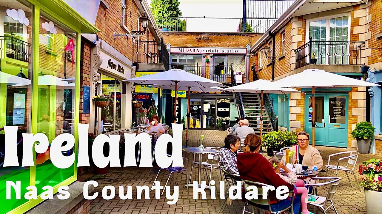 Not indciatedTown defences · 144 yd
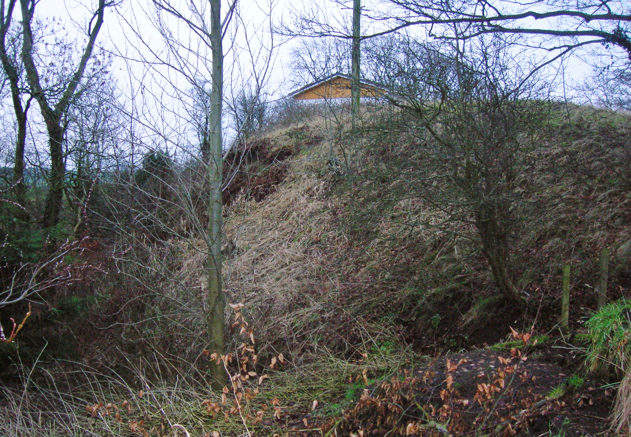 North MoteArchaeological place · 145 yd
 Monread District Park WoodsWood · 1551 yd
 Naas ParkWood · 1717 yd
 Museum of MotorsportMuseum · 4.2 mi
 Cupidstown HillMountain / peak · 6.9 mi
 Athgoe HillMountain / peak · 7.8 mi