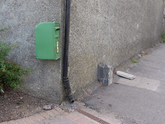
What is recorded here
Freestanding limestone milestone/boundary marker/ordnance stone on rectangular plan having pyramidal top, erected c.1800, with carved inscriptions to faces. Located adjacent to Columb Barracks on the main Mullingar to Ballynacarrigy Road and to the northwest of Mullingar Town centre.
A nicely carved limestone artefact, which is an interesting addition to the roadscape to the northwest of Mullingar. Its form suggests that it was probably originally a milestone, and, as such, it represents a subtle reminder of the great age of coaching in Ireland during the eighteenth and the first half of the nineteenth century. However, its location suggests that it may be some sort of town boundary marker or perhaps even an ordnance stone associated with the adjacent Columb Barracks complex. This modest piece of street furniture adds a subtle historic veneer to its location and is a worthy addition to the built heritage of the town.
This does not grant access. Most recorded buildings are privately owned; view them only from public ground unless the owner allows entry.
Places near here
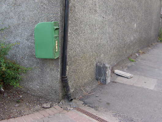 post boxpost box · 3 yd
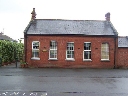 Columb Barracksofficers' mess · 159 yd
 Mullingar Cathedral MuseumMuseum · 473 yd
 Famine MemorialMemorial · 597 yd
 CastleCastle, unclassified · 634 yd
 The Chimera GalleryGallery · 635 yd
 Site of CastleCastle, unclassified · 705 yd
 Joe DolanMemorial · 762 yd
 Courthouse in MullingarCourthouse · 786 yd
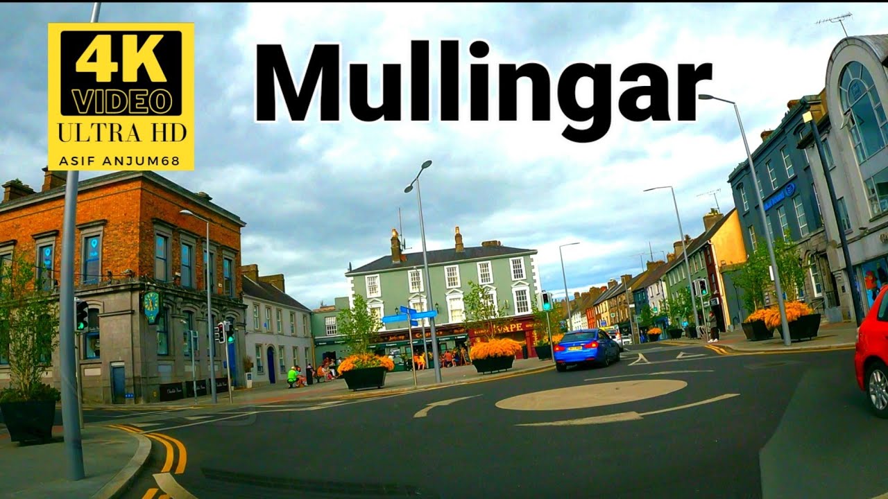 Town defences in MullingarTown defences · 878 yd
 Saint Brigid's WellSpring · 1.6 mi
 Lady's IslandWood · 2.4 mi
Other information
Photo: National Inventory of Architectural Heritage · Website use allowed for educational or private purposes with source credit