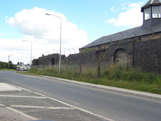
What is recorded here
Boundary wall surrounding Columb barracks (15310007 to 1531019), built c.1814, having a number of former integral carriage arch entrances to the north on Ashe Road. Constructed of coursed rubble limestone. Wall now collapsing in places with wire security fence over. Pistol loop hole openings to wall, particularly towards the east end of Ashe Road elevation. Entrances to Ash Road constructed in dressed limestone, each having a segmental-headed carriage arch, dressed limestone flanking piers and a dressed limestone parapet over. Entrances now mostly blocked-up. Located to the west of Mullingar.
A well-built and imposing boundary wall, having a number of good quality dressed limestone gateways. It retains its early form and character despite its now deteriorating condition. The gateways are very typical of the military architecture of the time and are similar to number of examples at Custume Barracks, Athlone. This boundary wall forms part of an important group of structures associated with Columb Barracks (15310007 to 15310019), formerly Wellington Barracks, and is an interesting addition to the landscape to the west of Mullingar, adding historic incident to the streetscape.
This does not grant access. Most recorded buildings are privately owned; view them only from public ground unless the owner allows entry.
Places near here
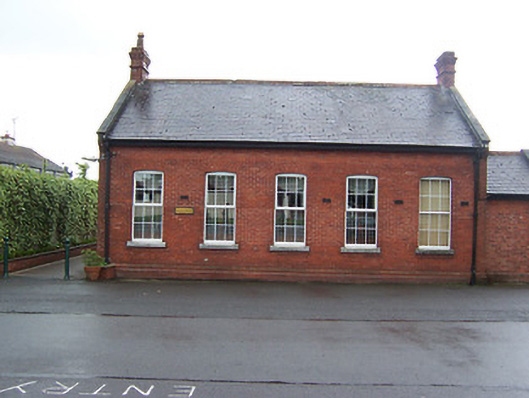 Columb Barracksofficers' mess · 223 yd
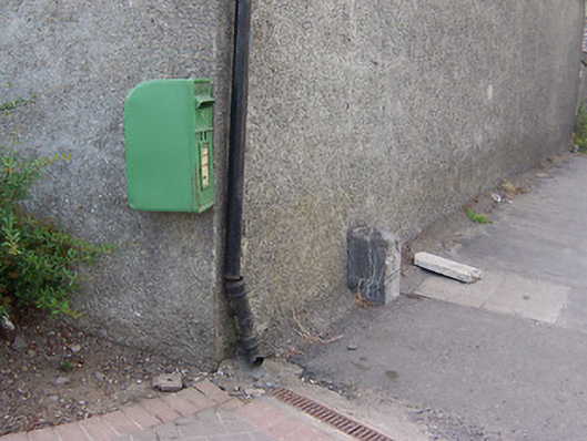 post boxpost box · 232 yd
 Mullingar Cathedral MuseumMuseum · 645 yd
 Famine MemorialMemorial · 815 yd
 The Chimera GalleryGallery · 851 yd
 CastleCastle, unclassified · 854 yd
 Site of CastleCastle, unclassified · 928 yd
 Courthouse in MullingarCourthouse · 988 yd
 Town defences in MullingarTown defences · 1054 yd
 Augustinian Monks Memorial StatueMemorial · 1257 yd
 Saint Brigid's WellSpring · 1.5 mi
 Lady's IslandWood · 2.3 mi
Other information
Photo: National Inventory of Architectural Heritage · Website use allowed for educational or private purposes with source credit