What is recorded here
Barrow is a barrow (unclassified) in Mulliganstown, County Westmeath, Ireland. Situated on a slight rise in undulating grassland, the site offers good views of the surrounding countryside and lies near a ring-barrow located 410 metres to the west. The 1837 Ordnance Survey Fair Plan map depicts the site as a small circular shaped enclosure annotated as a fort, while the 1837 edition of the Ordnance Survey 6-inch map shows it as a small circular mound or earthwork intersected by a public road running east to west at the north and a field boundary running north to south at the southwest. Subsequent map editions do not depict the monument, and the source account records no surface remains visible of this levelled earthwork, which is described as a possible levelled burial mound or ring-barrow.
Situated a slight rise in undulating grassland with good views of the surrounding countryside. Ring-barrow (WM009-002---) 410m to W. Depicted as a small circular shaped enclosure and annotated as ‘fort’ on the 1837 OS Fair Plan map. On the 1837 ed. OS 6-inch map the monument is depicted as a small circular mound or earthwork intersected by a public road running E-W at N, at SW by a field boundary running N-S and with farm buildings [Rose Cottage] immediately to W. Monument not depicted on subsequent editions of the OS 6-inch map. No surface remains visible of this levelled monument. This levelled earthwork is depicted in a similar fashion and is the same size as ring-barrow (WM009-002---) 410m to W. Possible levelled burial mound or ring-barrow.
Compiled by: Frank Coyne and Caimin O'Brien
Date of upload: 26 April 2017
A Bronze Age barrow; possibly a bell barrow or round barrow. Its significance lies in its potential as a funerary monument reflecting early burial practices in the region.
The monument record does not grant public access. Check the route and ask the landowner before entering private land.
- What survives
- Recorded monument
Places near here
 Corn MillMill, unclassified · 647 yd
 Bawn in ArcherstownBawn · 897 yd
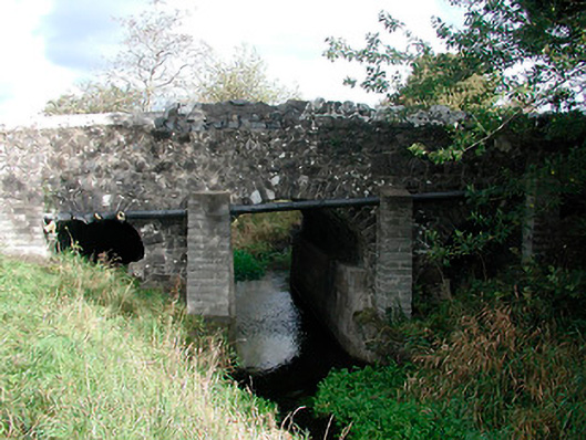 Graulty's Bridgebridge · 1014 yd
 Partially hachuredFairy fort / earthen ringfort · 1262 yd
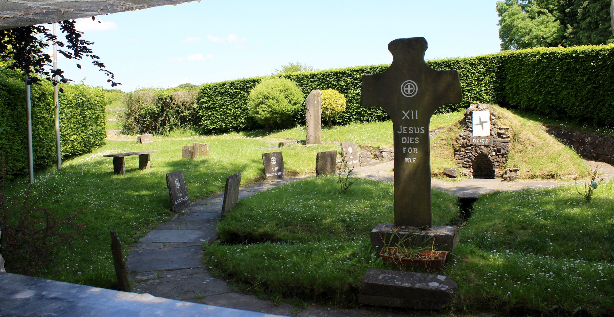 Ecclesiastical enclosure in ArcherstownEcclesiastical enclosure · 1306 yd
 Clonarney Church (in Ruins)Castle, tower house · 1.3 mi
 European ashEuropean ash · 2.0 mi
 Bradley's WoodWood · 2.5 mi
 Kells HillMountain / peak · 2.8 mi
 The Sloe HillMountain / peak · 2.9 mi
 Zip WireHeritage attraction · 6.1 mi
 LoughcrewMegalithic tomb cemetery · 6.4 mi