What is recorded here
Lissespin Fort was a circular earthwork in County Louth, Ireland, marked on an 1835 map before destruction erased most of its shape. Slight ground undulations and a cropmark arc still trace its eastern edge, suggesting the fort resisted complete erasure even after human hands or time removed its visible wall.
The following description is derived from both the published 'Archaeological Inventory of County Louth' (Dublin: Stationery Office, 1986) and the 'Archaeological Survey of County Louth' (Dublin: Stationery Office, 1991). In certain instances the entries have been revised and updated in the light of recent research.
Date of upload/revision: 17 July 2007
Marked as circle and labelled 'Lissespin Fort' on 1835 ed. of OS 6-inch map. Now destroyed but slight undulations of the ground visible. Cropmark ring extending in an arc from E-S on aerial photograph (CUCAP, AYM 20).
This remains an important historical record, but the official description says the monument is no longer visible or has been destroyed. The monument record does not grant public access. Check the route and ask the landowner before entering private land.
- What survives
- No visible remains or recorded as destroyed
Places near here
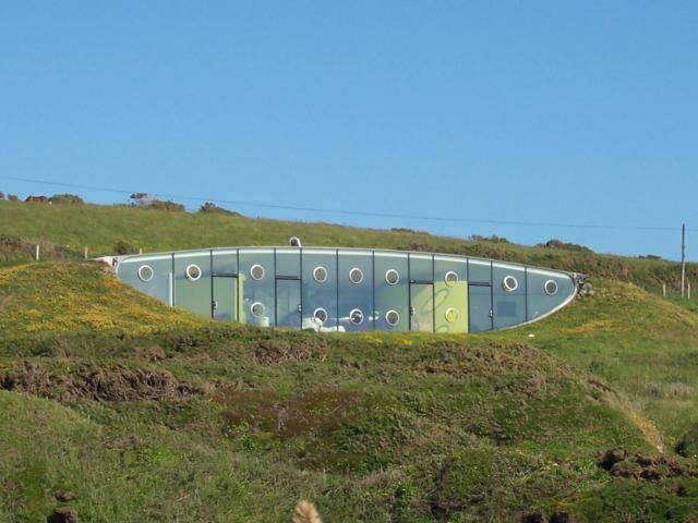 Enclosure in MullanstownEnclosure · 991 yd
 Site of Mullanstown CastleCastle, unclassified · 1054 yd
 Man-made underground passage in CooleMan-made underground passage · 1233 yd
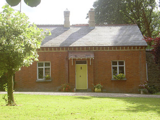 Rahanna Houseworker's house · 1.0 mi
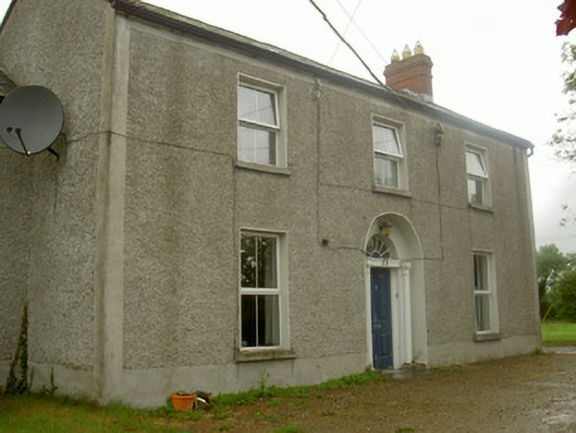 Fairview Househouse · 1.1 mi
 Lebanon CedarLebanon Cedar · 1.2 mi
 English hollyEnglish holly · 1.2 mi
 Sir Frederick Foster MemorialMemorial · 1.4 mi
 The LissCastle, motte · 1.5 mi
 Yellow HillMountain / peak · 2.3 mi
 Screedoge HillMountain / peak · 2.7 mi
 Graveyard in StickillinGraveyard · 2.9 mi