What is recorded here
Mullaghree in County Fermanagh holds a rath, an ancient earthwork whose boundary still marks the land. The official record preserves only the name and kind, leaving the builders, years and daily life behind the ridge to imagination. A rath is not a vague shape but a made place, likely formed for residence, defense or ritual when people believed a visible marker could hold authority. Whatever it guarded, the earth remembers the decision to build there.
The official Northern Ireland record identifies this as RATH. Recorded period: E.CHRIST.. The official map point was placed at the centre of the recorded archaeological site from the source map reference.
The monument record does not grant public access. Check the route and ask the landowner before entering private land.
- What survives
- Recorded monument
Places near here
 Rossorry ChurchChurch · 1008 yd
 Thistlebank HouseHouse · 1.3 mi
 Portora CastleCastle · 1.4 mi
 Castle IslandIslet · 1.4 mi
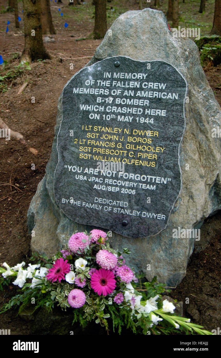 B17 Crash MemorialMonument · 1.4 mi
 CHURCH; GRAVEYARD and ENCLOSURE in RossorryCHURCH; GRAVEYARD and ENCLOSURE · 1.5 mi
 Enniskillen CastleCastle · 1.5 mi
 ENNISKILLEN CASTLE in EnniskillenENNISKILLEN CASTLE · 1.5 mi
 Fermanagh County MuseumMuseum · 1.5 mi
 RECTANGULAR ENCLOSURE in RossorryRECTANGULAR ENCLOSURE · 1.5 mi
 Boer War MemorialMemorial · 1.5 mi
 Cherry IslandIsland · 1.7 mi