What is recorded here
Mullaghakaraun holds a ghost circle beside its ringfort, visible only when evening light stretches across the field. The main fort stands clear, but the smaller enclosure dissolves into ordinary ground unless the sun drops low enough to reveal its shallow bank and raised centre. That conditional visibility suggests the landscape still remembers a boundary people forgot.
In 1997 the existence of a possible levelled enclosure or annexe which was attached to the NW side of a ringfort (OF021-001001-) was recorded as 'in the evening time, with a low sun, it appeared to be a very low level ploughed out circular enclosure, possibly with a single bank, and a central slightly raised area. It was roughly 20m in diameter' (SMR file 1997).
Compiled by Caimin O'Brien
Date of upload / revision : 16 August 2010
The monument record does not grant public access. Check the route and ask the landowner before entering private land.
- What survives
- Recorded monument
Places near here
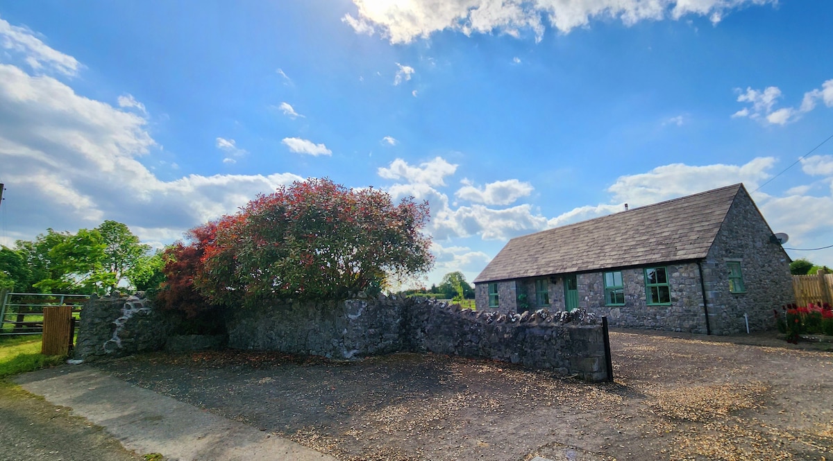 Hut site in MullaghakaraunHut site · 96 yd
 CastleCastle, tower house · 442 yd
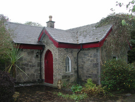 Coolfin Housegate lodge · 493 yd
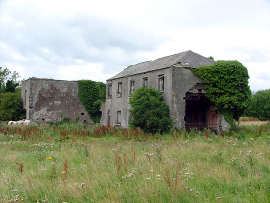 Cuba Courtschool · 1271 yd
 Grants IslandIslet · 1491 yd
 Bullock IslandIsland · 1530 yd
 Corrigans CornerMemorial · 1.1 mi
 Banagher MarinaHeritage attraction · 1.1 mi
 CrossCross, High cross · 1.2 mi
 Garry Castle in ruinsCastle, tower house · 1.6 mi
 Kilbeg WoodWood · 2.4 mi
 All Saints' WellSpring · 2.8 mi