
What is recorded here
Mullagh holds a forgotten field system beneath a later burial ground, proving that the dead came to rest where people once farmed. Linear gullies and shallow ditches still mark the northern and southern edges of that older life. The largest ditch stretches about ninety metres across the low hill, while a second curves westward until graves cut through it. Fields first, death second: the land remembers both.
On a low hill in undulating pasture. Excavation in 2009 revealed evidence for possible medieval agricultural activity at and within a burial ground (LF013-146----). A series of linear gullies and shallow ditches aligned NW–SE was interpreted, largely on the basis of stratigraphic evidence, as the remnants of a field system that pre-dated the burial ground. The exposed length of the largest ditch was estimated at c. 90m. A second ditch (L 30m; Wth 1.4m; D 0.39m), curving at its W extent, was cut into by four of the graves. A series of isolated pits, post-holes and burnt spreads, of uncertain antiquity and function, were also excavated. A corn-drying kiln (LF013-148----) was also found at the W extent of the excavation (Hull 2009; Stephens 2009b, 2009c; pers. comm. M. Stephens).
Compiled by: Patrick F. O'Donovan
Date of upload: 22 November 2011
The monument record does not grant public access. Check the route and ask the landowner before entering private land.
- What survives
- Recorded monument
Places near here
 Field boundary in MullaghField boundary · 91 yd
 Furnace in MullaghFurnace · 171 yd
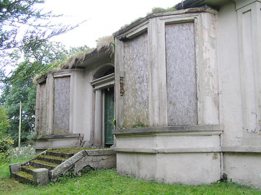 Mullagh Househouse · 267 yd
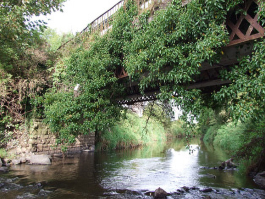 bridgebridge · 499 yd
 Bawn in AbbeycartronBawn · 1677 yd
 First World War MemorialMemorial · 1.1 mi
 Saint Mel's CathedralCathedral · 1.2 mi
 Graveyard in Curry (ardagh By., Coolamber Ed)Graveyard · 2.8 mi
 CastleCastle, Anglo-Norman masonry castle · 4.5 mi
 Commons North WalkVisitor information · 7.9 mi
 Wild birdsVisitor information · 8.1 mi
 White Sand WoodWood · 8.4 mi
Other information
Photo: Credit not shown in the picture search · Rights wording not checked; contact us if this picture should be removed