What is recorded here
Indicated is a fairy fort on a Galway rise where a thirty-metre circular enclosure once stood. By 1983 only a twenty-centimetre mound and faint wall traces remained beside boulders and bushes. The land has taken back most of the shape, leaving behind a small ridge that still marks the forgotten boundary.
On a rise in undulating pastureland. Marked on the 1838 edition of the OS 6-inch map as roughly circular enclosure planted with trees/bushes (diam. c. 30m). On inspection in February 1983 all that survived was a low mound (H c. 0.2m) at N and E. Traces of wall revetment (Wth 1.7m) survived. The interior was planted with bushes and strewn with boulders.
Compiled by: Galway Archaeological Survey, UCG
Date of upload: 18 April 2019
The monument record does not grant public access. Check the route and ask the landowner before entering private land.
- What survives
- Recorded monument
Places near here
 Bawn in MoyveelaBawn · 468 yd
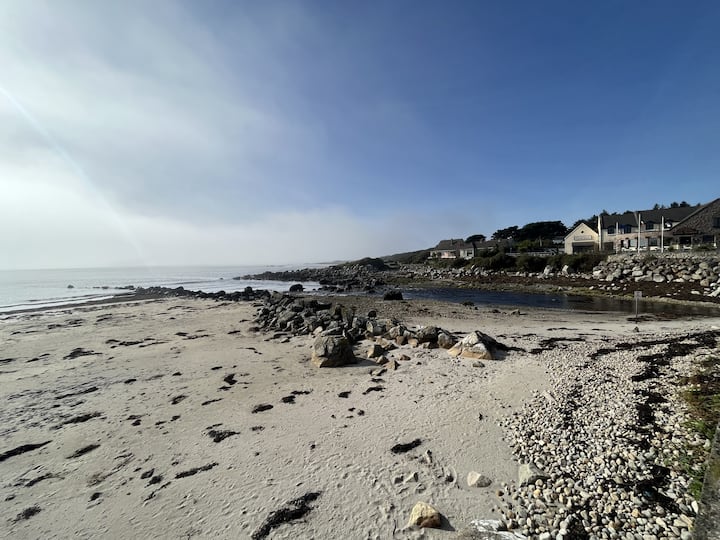 Man-made underground passage in BallinillaunMan-made underground passage · 942 yd
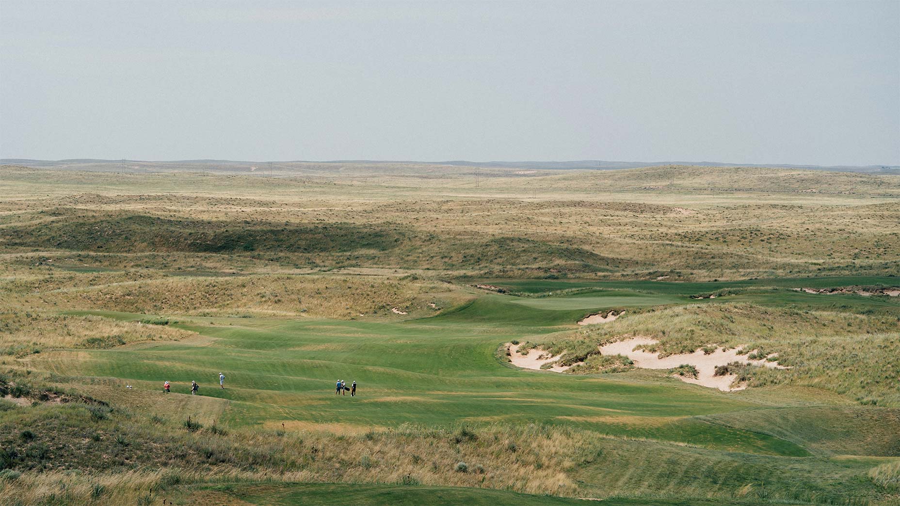 Field system in BallinillaunField system · 1005 yd
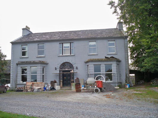 Lavallycountry house · 1591 yd
 Laghtgal Monumentmonument · 1.0 mi
 Derrydonnell Castle (in ruins)Castle, tower house · 1.2 mi
 Kilcornan WoodWood · 1.7 mi
 Loughaun WoodWood · 2.3 mi
 Athenry AbbeyHeritage attraction · 4.5 mi
 Athenry CastleHeritage attraction · 4.6 mi
 MweenisharanIslet · 6.0 mi
 Rabbit IslandIslet · 7.3 mi