What is recorded here
In pasture. Shown only on 1842 OS 6-inch map as hachured arc (c. 10m NE-SW) on SE side of NE-SW lane. Lane removed; no visible surface trace of site. Two ring-barrows c. 25m to SW (7877) and c. 30m to S (7878); possible ring-barrow (7889) to SW.
The above description is derived from the published 'Archaeological Inventory of County Cork. Volume 3: Mid Cork' (Dublin: Stationery Office, 1997). In certain instances the entries have been revised and updated in the light of recent research.
Date of upload/revision: 14 January 2009
A ring-barrow, likely dating to the Early Bronze Age, associated with a burial tradition of circular earthen mounds. Its location near two other ring-barrows suggests a small funerary landscape, though its individual significance is obscured by lack of physical remains.
The monument record does not grant public access. Check the route and ask the landowner before entering private land.
- What survives
- Recorded monument
Places near here
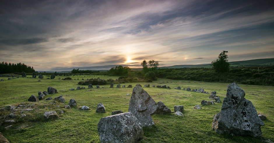 BarrowBarrow, ring-barrow · 31 yd
 Mountrivers HouseCountry house · 633 yd
 St Eolan's Roman Catholic Churchchurch/chapel · 839 yd
 Man-made underground passageMan-made underground passage · 1084 yd
 Saint Bartholomew's WellSpring · 2.2 mi
 Oldcastle WoodWood · 3.0 mi
 Mullinhassig WaterfallWaterfall · 3.0 mi
 Mullinhassig WoodWood · 3.1 mi
 Knockduff Wind FarmVisitor information · 3.2 mi
 BurrenMountain / peak · 3.3 mi
 Knockcraugh HillMountain / peak · 3.8 mi
 New TipperaryVisitor information · 4.5 mi