What is recorded here
Half a century after Westropp measured its vanished walls, the mount still breathes through soil and shadow. Cattle graze where a moated fort once stood, yet satellite light reveals its square frame and the cut line of its lost ditch. The land forgot the shape but never erased it.
In reclaimed pasture. Depicted on the 1840 ed. OSi 6-inch map as a square-shaped earthwork. Shown on the 1897 ed. OSi 25-inch map as a square-shaped area (dims. c. 46m NW-SE; 46m NE-SW) defined by a bank reduced to a scarp at S with external bank from SE-S-W and NW-N-NE and intervening fosse. Truncated at N and E by a drainage channel. Described by Westropp (1916/1917, 21) as a fort measuring ‘250 feet [74.2m] across’. Levelled monument visible as square-shaped cropmark (dims. c. 48m N-S by 52m E-W), intersected at NE by a linear cropmark running roughly E-W on Digital Globe orthoimage taken between 2011-13 and on Google Earth orthoimages.
See attached Google Earth orthoimages.
Compiled by: Fiona Rooney
Date of upload: 8 September 2021
The monument record does not grant public access. Check the route and ask the landowner before entering private land.
- What survives
- Recorded monument
Places near here
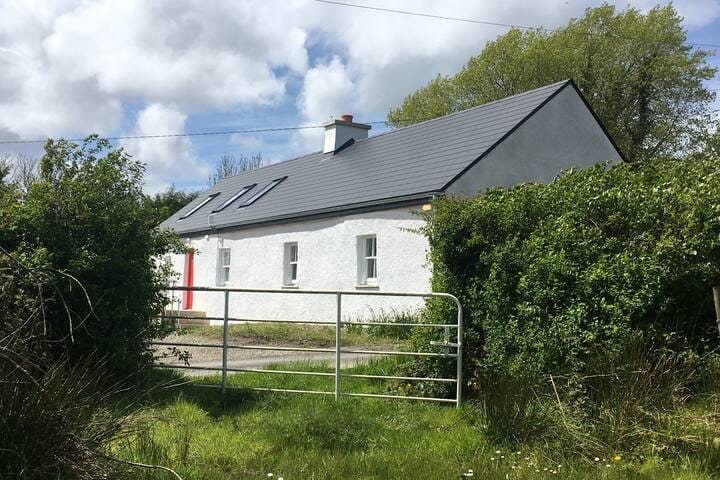 Habitation site in MountblakeneyHabitation site · 464 yd
 BarrowBarrow, bowl-barrow · 604 yd
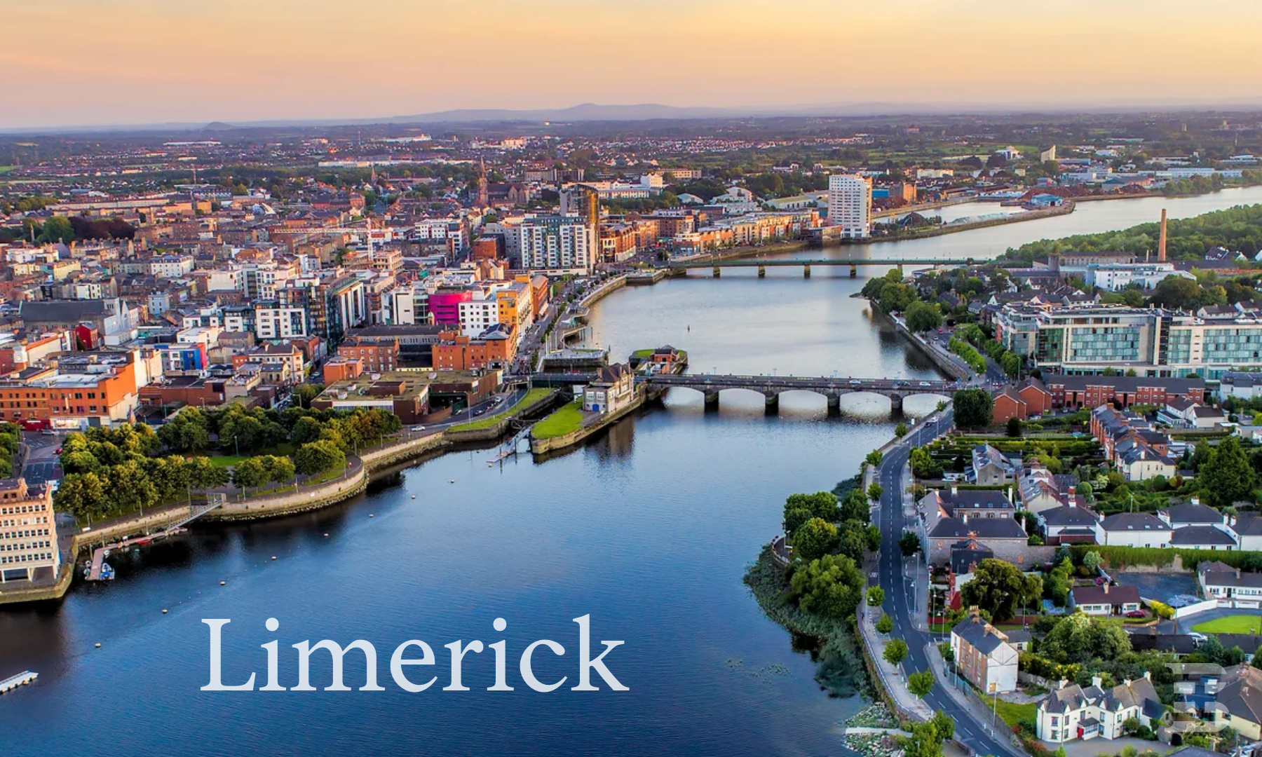 IndicatedCastle, unclassified · 652 yd
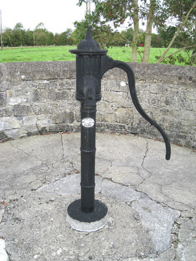 water pumpwater pump · 1.1 mi
 Kilbreedy Church (in ruins)Church · 1.1 mi
 Lady's WellSpring · 1.8 mi
 ToberSpring · 1.8 mi
 Bawn in CregganeBawn · 1.9 mi
 Holy Cross CemeteryGraveyard · 2.8 mi
 King John's CastleCastle · 3.0 mi
 Caher HillMountain / peak · 4.7 mi
 BallinaboolaVisitor information · 4.8 mi