What is recorded here
Enclosure in Mountaincastle South is an enclosure in Mountaincastle South, County Waterford, Ireland. Mountaincastle South contains a roughly circular enclosure about 45 metres across, recorded in satellite imagery from 2011 to 2013 and again on 16 March 2022. A low scarp marks the west, north and northeast edge, while a curving field boundary marks the southeast and southwest edge. The enclosure lies in tillage, with a field boundary running north-northwest to south-southeast along its east side.
In tillage. A 390 foot [c. 120m] trigonometric station is indicated on the S perimeter of the enclosure. A roughly circular enclosure (diam. c. 45m), defined by a low scarp from W-NNE and by a curving field boundary from SE-SW. Visible on satellite imagery (DigitalGlobe, imagery date 2011-2013; Google Earth; imagery date 16 March 2022), identified and reported by Stuart Elder. A field boundary running NNW-SSE runs along the E side and appears to partially truncate the edge of the enclosure. A ringfort (WA022-016----) lies c. 70m to the SW.
See attached imagery:
WA022-066----_01 DigitalGlobe satellite image, imagery date 2011-2013
WA022-066----_02 Google Earth satellite image; imagery date 16 March 2022
Compiled by: Jean Farrelly
Date of upload: 26 July 2023
The monument record does not grant public access. Check the route and ask the landowner before entering private land.
- What survives
- Recorded monument
Places near here
 Embanked enclosureFairy fort / ringfort · 130 yd
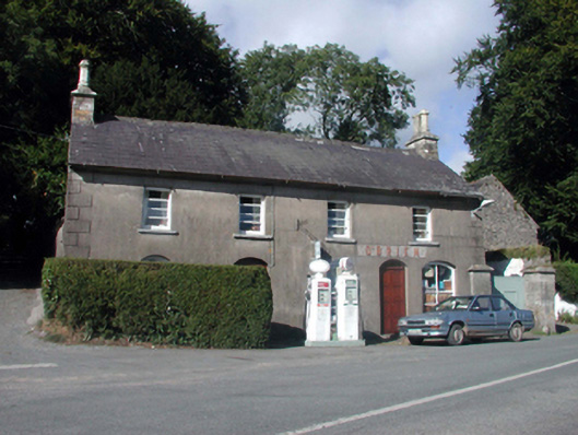 O'Brienhouse · 835 yd
 outbuildingoutbuilding · 835 yd
 Site of Grave YardGraveyard · 1193 yd
 Black HillMountain / peak · 2.6 mi
 Glenshelane WoodsForest · 3.7 mi
 Glenshelane Red WalkWalking route · 3.8 mi
 Coillte infoboardVisitor information · 4.0 mi
 Crow HillMountain / peak · 4.2 mi
 Kilgreany CaveCave · 4.5 mi
 WaterfallViewpoint · 4.6 mi
Other information
Photo: Credit not shown in the picture search · Rights wording not checked; contact us if this picture should be removed