What is recorded here
MOUND in County Antrim, Ireland, is a scheduled medieval site whose true identity still hovers between a natural mound and a man-made motte. The uncertainty is not a flaw but an invitation to picture hands lifting soil, sharpening stakes and shaping a small defensible place before written memory arrived. Its preserved form suggests people valued height, visibility and control enough to change the land.
The official Northern Ireland record identifies this as MOUND - MOTTE?. Recorded period: MEDIEVAL; UNCERTAIN. Recorded protection: Scheduled. The official map point was placed at the centre of the recorded archaeological site from the source map reference.
Medieval motte, 12th to 13th century. A Scheduled Ancient Monument, it reflects early medieval military and settlement patterns in Northern Ireland.
The monument record does not grant public access. Check the route and ask the landowner before entering private land.
- What survives
- Recorded monument
Places near here
 US RangersMemorial · 893 yd
 ENCLOSURE in Carrickfergus; East Central WardENCLOSURE · 1036 yd
 Carrickfergus Railway StationRailway Station Structures · 1110 yd
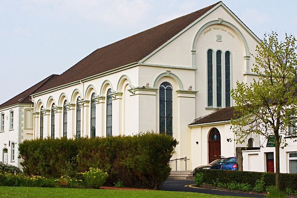
_-_geograph.org.uk_-_1734777.jpg?width=1280) Joymount Presbyterian ChurchChurch · 1114 yd
Joymount Presbyterian ChurchChurch · 1114 yd ENCLOSURE in Middle DivisionENCLOSURE · 1114 yd
 Carrickfergus MuseumMuseum · 1178 yd
 FORTIFIED HOUSE built on FRANCISCAN FRIARY: JOYMOUNT in CarrickfergusFORTIFIED HOUSE built on FRANCISCAN FRIARY: JOYMOUNT · 1203 yd
 Siege of Carrickfergussiege · 1267 yd
 MEDIEVAL PARISH CHURCH, POST-MED. & MODERN CHURCH & GRAVEYARD: ST NICHOLAS' CHURCH, ST NICHOLAS OF CRAGFERGUS in CarrickfergusMEDIEVAL PARISH CHURCH, POST-MED. & MODERN CHURCH & GRAVEYARD: ST NICHOLAS' CHURCH, ST NICHOLAS OF CRAGFERGUS · 1378 yd
 Andrew Jackson Cottage and US Rangers CentreHeritage attraction · 1461 yd
 Battle of Carrickfergus (1760)Major battlefield · 1527 yd
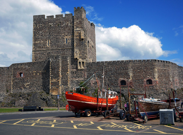 CARRICKFERGUS CASTLE in CarrickfergusCARRICKFERGUS CASTLE · 1534 yd