What is recorded here
On a gravel ridge named ‘Mount Crawley’ on the OS 6-inch mapping. A circular feature is shown in this general location on Taylor's Map of County Kildare (1783). A low oval mound (diams. 20m; 10m; H 1m), the centre of which had been dug out, stands on the summit of the ridge (SMR file 1982).
Compiled by: Gearóid Conroy
Date of upload: 29 May 2012
Neolithic passage tomb, dating to approximately 3500–2500 BCE. Its location on a prominent gravel ridge suggests it was part of a broader ritual landscape associated with early farming communities in the region.
The monument record does not grant public access. Check the route and ask the landowner before entering private land.
- What survives
- Recorded monument
Places near here
 Rosetown RathFairy fort / earthen ringfort · 1375 yd
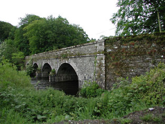 Athgarvan Bridgebridge · 1470 yd
 CastleCastle, unclassified · 1505 yd
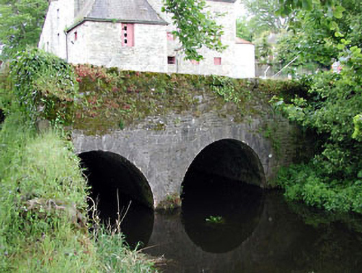 bridgebridge · 1531 yd
 Enclosure in GreatconnellEnclosure · 1537 yd
 IndicatedCastle, unclassified · 1.1 mi
 Newbridge SilverwareMuseum · 1.8 mi
 ElderElder · 2.9 mi
 Pollardstown Fen Nature ReserveNature reserve · 4.2 mi
 Hill of AllenMountain / peak · 6.4 mi
 Grand Canal WayVisitor information · 7.7 mi
 Battle of Kilrushbattle · 8.2 mi