What is recorded here
The Ordnance Survey Letters recorded the following 'In the townland of Lower Calry is a hill which the inhabitants call by the name of Knock Daee i.e. the Hill of David, and they say that it had a moate on the top, but no vestige of a moate remains now.' (O' Flanagan 1928, 80)
Compiled by: Claire Breen
Date of upload: 28 November 2012
A Neolithic passage tomb; significance not clearly recorded due to incomplete documentation.
The monument record does not grant public access. Check the route and ask the landowner before entering private land.
- What survives
- Recorded monument
Places near here
 Church in Kilmurry South (rathdown By.)Church · 1262 yd
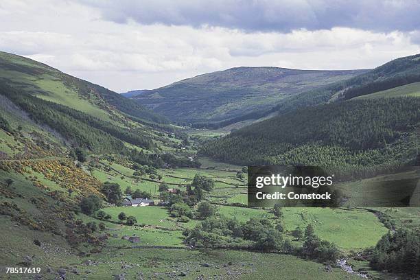 IndicatedHillfort · 1681 yd
 Glen of the DownsNature reserve · 1.2 mi
 Great SugarloafMountain / peak · 1.3 mi
 Great Sugar LoafMountain · 1.3 mi
 The OctagonRuins · 1.3 mi
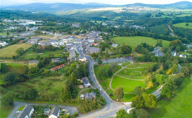 Enclosure in Ballyremon CommonsEnclosure · 1.4 mi
 The Sugar Loaf WayWalking route · 1.4 mi
 Kindlestown WoodForest · 2.1 mi
 Johnny Fox's MemorialMemorial · 2.2 mi
 Greystones WayWalking route · 2.3 mi
 Powerscourt WaterfallWaterfall · 2.8 mi