What is recorded here
In low-lying marshy land to E of the old Loughrea branch railway line. It consists of a subrectangular flat-topped earthen mound (H 1.8m max.) in fair condition. The flat summit (NW-SE 14.2m, NE-SW 12.5m) is partially mantled by trees which also grow around its flanks: the NE and SE sides have been degraded by livestock.
The above description is derived from the published 'Archaeological Inventory of County Galway Vol. II - North Galway'. Compiled by Olive Alcock, Kathy de hÓra and Paul Gosling (Dublin: Stationery Office, 1999).
Date of upload: 05 August 2010
A subrectangular flat-topped earthen mound, likely a ring barrow or cairn, possibly dating to the Early Christian or medieval period; its significance is locally contextual but not well documented.
The monument record does not grant public access. Check the route and ask the landowner before entering private land.
- What survives
- Recorded monument
Places near here
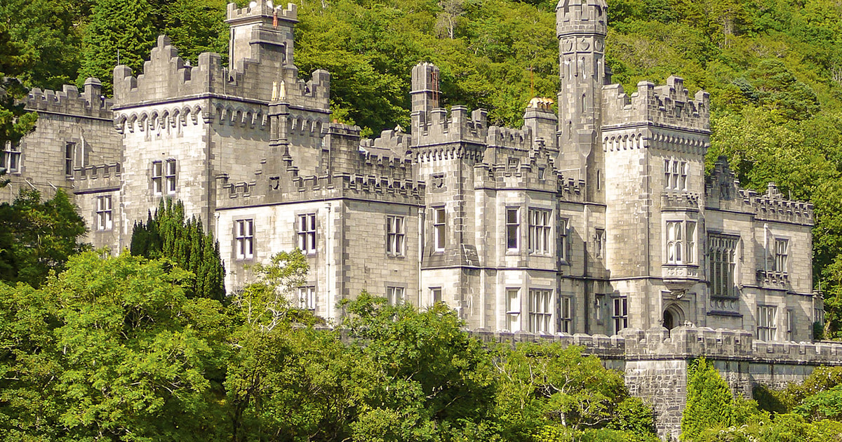 Tober ImorHoly well · 808 yd
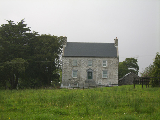 Killimor Castlecountry house · 906 yd
 R.C. ChapelChurch · 941 yd
 Enclosure in Gortnalone SouthEnclosure · 2.2 mi
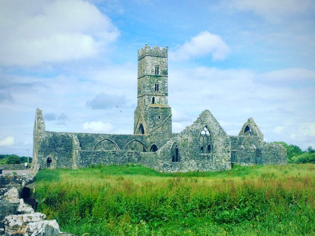 Cloonbrusk Castle (in ruins)Castle, unclassified · 3.2 mi
 Galboley Castle (in ruins)Castle, unclassified · 3.5 mi
 Turoe StoneHeritage attraction · 3.7 mi
 Woodlawn WoodsForest · 4.9 mi
 Moyard WoodWood · 5.0 mi
 Barrack IslandIslet · 7.3 mi
 Middle IslandIslet · 7.3 mi
 Menlough IRAMemorial · 8.5 mi