What is recorded here
Situated beside W boundary of field containing ring-ditch (ME019-113----) to N, field system (ME019-114----) to NE, embanked enclosure (ME019-016001-) to E and possible road (ME019-116----) to SE. Cropmark of circular ring-ditch (diam. c. 22m) visible on Google Earth aerial photograph taken 12 July 2013.
See attached aerial photograph showing cropmark taken from Google Earth.
Compiled by: Caimin O'Brien
Date of upload: 05 November 2013
The monument record does not grant public access. Check the route and ask the landowner before entering private land.
- What survives
- Recorded monument
Places near here
 Ritual siteRitual site, pond · 353 yd
 Enclosure in MonknewtownEnclosure · 379 yd
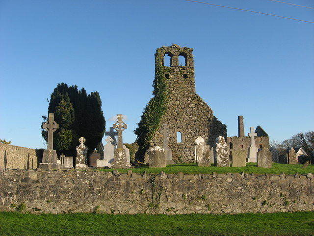 Church (in Ruins)Church · 650 yd
 mill (water)mill (water) · 740 yd
 Knowth Timber CircleHeritage attraction · 1.4 mi
 KnowthArchaeological place · 1.4 mi
 School WoodForest · 1.5 mi
 Quarry Garden WoodForest · 1.6 mi
 Dowth CastleCastle, tower house · 1.7 mi
 Proudfootstown CastleCastle, unclassified · 1.9 mi
 Brú na Bóinne Visitors CentreVisitor information · 2.1 mi
 Hurcle HillMountain / peak · 2.3 mi