What is recorded here
Thirty metres of grass and ghost stones mark a chamber tomb cut into the Mattock River valley, where men and women may have laid their dead beneath the soil. The mound still stands though quarrymen stripped its southeast face in the nineteenth century, leaving a kerbstone and broken edges to testify. What was hidden inside has gone, but the shape remains: a room built for the dead, half forgotten by the living.
Located on a level landscape and c. 70m from the edge of a steep scarp (H c. 5m) down to the valley floor of a NW-SE section of the meandering Mattock River. This is a grass-covered mound (diam. of base 30m NNW-SSE; 28m ENE-WSW; H c. 3m) that is badly damaged at SE where it was quarried in the nineteenth century. A kerbstone (L 1.3m; Wth 0.15m; H 0.4m) is visible at SE but the tips of other stones can also be seen protruding through the sides of the mound and there is a plough scarp N-E. The monument is described in OS Name Book (1836) as 'a small moat which has a cave in it', suggesting that it contained a megalithic chamber, possibly a passage-tomb. Archaeological testing (04E0238) by P. D. Sweetman c. 80-100m to the S produced no related material (excavations.ie 2004:1289). (O'Kelly 1978, 63, Site S)
Compiled by: Michael Moore
The above description is derived from the published 'Archaeological Inventory of County Meath' (Dublin: Stationery Office, 1987). In certain instances the entries have been revised and updated in the light of recent research.
Date of upload: 10 July 2007
Amended: 28 January 2021
This monument is subject to a preservation order made under the National Monuments Acts 1930 to 2014 (PO no. 2/1956).
The monument record does not grant public access. Check the route and ask the landowner before entering private land.
- What survives
- Recorded monument
Places near here
 Font (present location) in MonknewtownFont (present location) · 219 yd
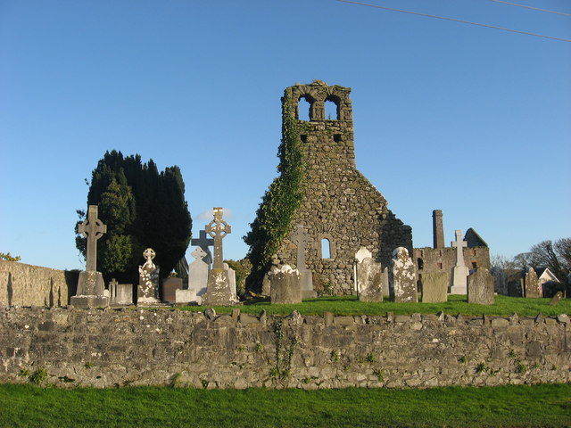 Church (in Ruins)Church · 292 yd
 mill (water)mill (water) · 375 yd
 Enclosure in MonknewtownEnclosure · 423 yd
 School WoodForest · 1.4 mi
 Knowth Timber CircleHeritage attraction · 1.4 mi
 KnowthArchaeological place · 1.4 mi
 Dowth CastleCastle, tower house · 1.5 mi
 Quarry Garden WoodForest · 1.5 mi
 Proudfootstown CastleCastle, unclassified · 1.7 mi
 Brú na Bóinne Visitors CentreVisitor information · 2.0 mi
 Battle of the BoyneMajor battlefield · 2.0 mi