What is recorded here
According to Price (1934, 50) in Money Upper townland, ‘at a place called Rockview, near the boundary of Moylisha, there are the remains of a cairn of stones, which contained a chamber, said to have been built of three flags with another on top, and a flat flag beneath, with what the farmer called “red bog clay” on it. Some of the stones can still be seed in the field, and the stones of the chamber are said not to have been disturbed’. Killanin and Duignan (1962, 417) described it as ‘a chambered cairn (wrecked)’. The precise location of this monument is unknown.
Compiled by: Jean Farrelly
Date of upload: 05 October 2012
A Neolithic cairn with a chamber, likely dating to the Early to Middle Neolithic period (c. 3700–2500 BCE). Its construction reflects early megalithic traditions in the region, though its specific cultural or ritual significance remains unclear.
The monument record does not grant public access. Check the route and ask the landowner before entering private land.
- What survives
- Recorded monument
Places near here
 Enclosure in Money UpperEnclosure · 314 yd
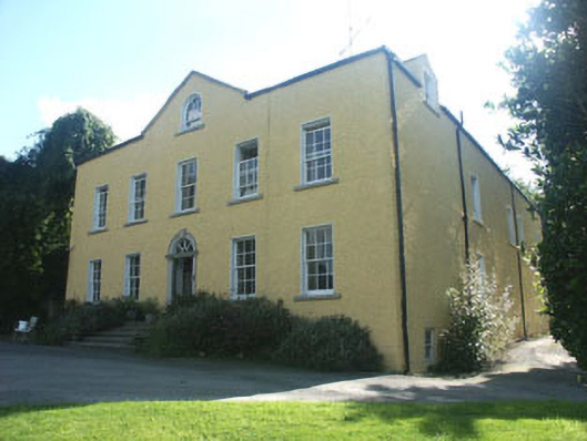 Money Housecountry house · 461 yd
 SycamoreSycamore · 603 yd
 European BeechEuropean Beech · 620 yd
 IndicatedEnclosure · 950 yd
 Aghowle Church (in Ruins)Church · 1439 yd
 CastleCastle, motte and bailey · 2.7 mi
 Church (in ruins), GraveyardChurch · 3.8 mi
 Altamont House and GardensHeritage attraction · 3.8 mi
 Altamont Gardens MapVisitor information · 3.9 mi
 Clonogan Castle (site of)Castle, unclassified · 3.9 mi
 Ballynultagh HillMountain / peak · 4.3 mi