What is recorded here
Thirty-five metres of packed earth still mark a forgotten circle beside Frankfort House, though vines have strangled the gate and nobody remembers the name of the person who built it. The bank rises seventy centimetres inside and thirteen outside, a small difference that suggests one side faced a road, garden or living being while the other resisted entry. Mogeely Lower kept the shape long after the hands that made it disappeared, proving that earth remembers pressure even when people stop repeating the reason.
On N-facing slope, adjacent to Frankfort House. Shown on 1842 OS 6-inch map as circular enclosure (diam. c. 35m), planted with trees. Circular area defined by earthen bank (int. H 0.7m; ext. H 1.3m). Interior level; inaccessible due to overgrowth.
The above description is derived from the published 'Archaeological Inventory of County Cork. Volume 2: East and South Cork' (Dublin: Stationery Office, 1994). In certain instances the entries have been revised and updated in the light of recent research.
Date of upload/revision: 14 January 2009
The monument record does not grant public access. Check the route and ask the landowner before entering private land.
- What survives
- Recorded monument
Places near here
 Frankfort Housecountry house · 154 yd
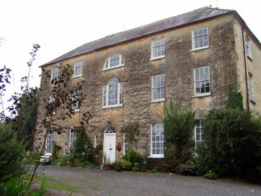 Lisnabrin Housecountry house · 481 yd
 Settlement desertedSettlement deserted, medieval · 758 yd
 Mogeely CastleCastle · 1091 yd
 CastleCastle, unclassified · 1.1 mi
 Fulacht fia in GlasshouseFulacht fia · 1.2 mi
 Graveyard in Curraheen (kinnatalloon By.)Graveyard · 1.2 mi
 Castlebrook forestWood · 1.8 mi
 Tallow HillMountain / peak · 3.0 mi
 Aghern CemeteryWood · 3.9 mi
 Salt HillMountain / peak · 4.4 mi
 Mocollop Picnic SitePicnic place · 4.5 mi