What is recorded here
Modreeny Castle reduced a strong hold to a bawn, then a bawn to scattered stones, then stones to a rockery beside Modreeny House. John Carroll owned the place in 1640, but the civil survey came later to find only walls standing among a decayed orchard, three thatched houses and garden plots. The rockery may still hide the castle’s bones, dressed up by later hands as ornament instead of ruin.
Situated on flat pastureland with good views in all directions within the medieval borough of Modreeny (TN010-084----). Described in the Civil Survey (1654-6) as an 'old castle and bawne the walls onely standing, a decayed orchard and a garden plott wth som decaying inclosures and quicksetts & three thatcht houses' (Simington 1934, vol. 2, 288). John Carroll is listed as proprietor in 1640 (ibid.). The scattered and confused fallen masonry from a castle (TN010-084002----) has been converted into a nineteenth-century rockery by the occupiers of Modreeny House located to the W. No architectural features visible. No clear evidence for any remains of bawn mentioned in the civil survey.
The above description is derived from 'The Archaeological Inventory of County Tipperary. Vol. 1 - North Tipperary' compiled by Jean Farrelly and Caimin O'Brien (Dublin: Stationery Office, 2002). In certain instances the entries have been revised and updated in the light of recent research.
Date of upload/revision: 22 September 2008
The castle at Modreeny was likely built in the 13th or 14th century by a local Anglo-Norman lord, as part of the expansion of Norman influence into Munster. It is remembered for its strategic position within the medieval borough and its mention in the 1654 Civil Survey, indicating its status as a notable, though by then ruined, medieval structure.
The monument record does not grant public access. Check the route and ask the landowner before entering private land.
- What survives
- Recorded monument
Places near here
 Castle in ruinsCastle, unclassified · 23 yd
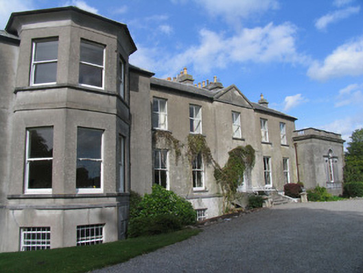 Modreenycountry house · 84 yd
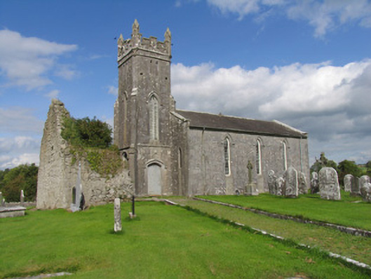 Modreeny Churchchurch/chapel · 473 yd
 Enclosure in KnockanacreeEnclosure · 623 yd
 Enclosure in Eminiska (modreeny Par.)Enclosure · 811 yd
 Knockanacree WoodForest · 1647 yd
 MacDonagh HouseMemorial · 1.1 mi
 Thomas MacDonagh Heritage CentreMuseum · 1.2 mi
 CastleCastle, tower house · 1.3 mi
 Ballycapple WoodForest · 2.6 mi
 James Devaney MemorialMemorial · 5.1 mi
 Gibbet HillMountain / peak · 9.2 mi