What is recorded here
Three ring-ditches are in the N part of the rectangular enclosure (ME025-081001-), and two possibly related structures (ME025-081003-) are on the E side of the NNE-SSW boundary ditch (ME025-082----). The ring-ditches are at the bottom of the N-facing slope dominated by the motte. They were defined by shallow drip-gullies (Wth c. 0.36-0.8m; D 0.2m) and enclosed similar areas (int. diam. c. 4.2m). The most easterly Structure (1) has entrance gaps at SE (Wth 0.7m) and SW (Wth 1.6m) with possible post-holes at the SE entrance. The central structure (2) is more eroded and it is not certain if the gaps in the perimeter N-E are original or due to the erosion of the drip-gully, but the gap at N (Wth 0.9m) is a likely entrance. No entrance is noted in the W feature (3) but about a third of the perimeter survives outside the excavated area and it might be here. There are no certain internal features, least of all post-holes, and their nature is uncertain. They may have been stands for hay-ricks as much as hut-sites although the excavator is inclined to the view that they were used for industrial purposes. No artefacts were recovered from them and a radiocarbon date of 1450-1635 Cal. AD (UB-7558) from one of the drip gullies may be genuine although the three features respect the major field boundaries in the vicinity. (Giacometti 2007, 42-5)
See the attached plans:_02 of excavated features (from Halliday 2009 fig. 25); _03 Rectangular enclosure and ring-ditches from Giacometti (2007 fig. 6)
Compiled by: Michael Moore
Date of upload: 5 April, 2023
Giacometti, A. 2007 Site 1. Navan Inner Relief Road. Licence: 06E0274. Final unpublished report, Arch-Tech
The monument record does not grant public access. Check the route and ask the landowner before entering private land.
- What survives
- Recorded monument
Places near here
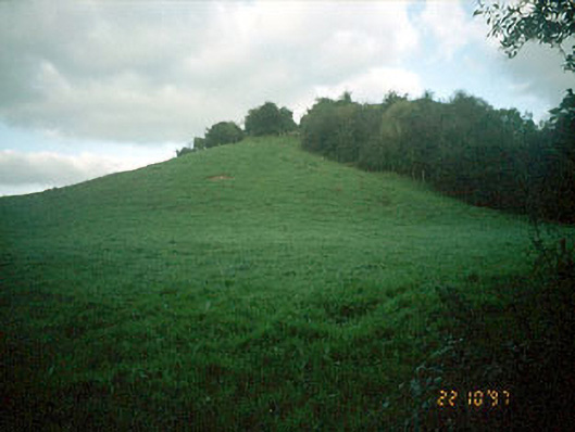 Navan MoatOfficially recorded historic building · 149 yd
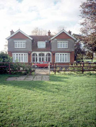 Mount Rivershouse · 162 yd
 Enclosure in MoathillEnclosure · 186 yd
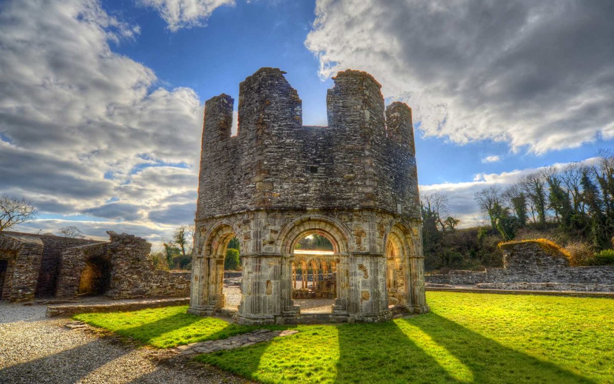 Burnt spread in Abbeyland SouthBurnt spread · 991 yd
 The RampartWood · 1506 yd
 Nangle CourtMemorial · 1553 yd
 CastleCastle, motte · 1.0 mi
 Rathaldron Ho.Castle, tower house · 1.3 mi
 Blackcastle DemesneWood · 2.0 mi
 Donaghmore Round TowerHeritage attraction · 2.0 mi
 BohermeenMountain / peak · 3.0 mi
 Carn HillMountain / peak · 3.1 mi