What is recorded here
Half a million years of rain and ploughing have erased the water ditch that once ringed this ridge, leaving only a low earthen bank with rounded corners to mark where a moated hall stood. The field boundaries cut across all four sides like knives through a wound, stealing the ditch and scattering its memory into soil. What remains is a shadow of a room, large enough to hold a household but empty of every wall, roof and person who ever lived inside it.
Located on natural ridge in undulating countryside. Sub-rectangular platform (46m N-S by 54m E-W) enclosed by an earthen bank (ext. H 1.5m) which has built up rounded corners typical of a moated site. No evidence of an enclosing fosse which may be due to the field boundaries which intersect all four sides of the site probably destroying original fosse. Depicted on the 1st ed. of the OS 6-inch map as 'Raheen'.
The above description is derived from the published 'Archaeological Inventory of County Offaly' (Dublin: Stationery Office, 1997). In certain instances the entries have been revised and updated in the light of recent research.
Date of upload: 23 May 2011
The monument record does not grant public access. Check the route and ask the landowner before entering private land.
- What survives
- Recorded monument
Places near here
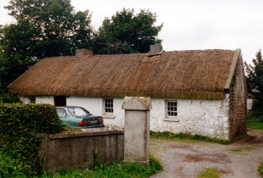 farm housefarm house · 562 yd
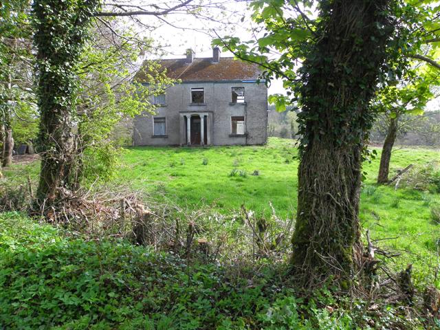 Enclosure in Garrysallagh GlebeEnclosure · 1424 yd
 Enclosure in Streamstown (eglish By.)Enclosure · 1493 yd
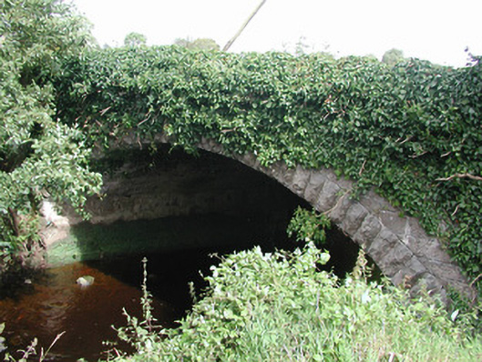 bridgebridge · 1.1 mi
 Killyon Abbey (in ruins)Bawn · 1.2 mi
 Site of OCarrolls CastleCastle, unclassified · 1.5 mi
 Woodville WoodWood · 4.2 mi
 Birr Heritage CentreMuseum · 4.5 mi
 Oriental planeOriental plane · 4.6 mi
 James Franklin FullerMemorial · 4.7 mi
 Waterfall PointViewpoint · 4.8 mi
 The Great Telescope 'Leviathan'Heritage attraction · 4.9 mi