What is recorded here
In level low-lying farmland with outcropping rock; the area to the N is wooded. On inspection in June 1983 this subrectangular flat-topped earthen mound (19.7m WNW-ESE; H c. 1.3m) was surrounded by an external fosse (Wth 4.5m). When inspected by McCaffrey (1952, 117, no. 26a) the fosse was flooded. Possibly a moated site. Current aerial imagery (Google 2019) suggests that it has subsequently been levelled.
Compiled by: Galway Archaeological Survey, UCG
Date of upload: 30 July 2019
The monument record does not grant public access. Check the route and ask the landowner before entering private land.
- What survives
- Recorded monument
Places near here
 Enclosure in PalmerstownEnclosure · 317 yd
 IndicatedEnclosure · 361 yd
 Derrydonnell Castle (in ruins)Castle, tower house · 1393 yd
 TemplegalChurch · 1712 yd
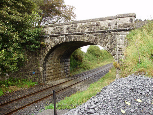 Derrydonnell Bridgebridge · 1.4 mi
 Bawn in MoyveelaBawn · 1.5 mi
 Loughaun WoodWood · 3.6 mi
 Horse-chestnutHorse-chestnut · 3.9 mi
 Athenry AbbeyHeritage attraction · 4.0 mi
 Athenry CastleHeritage attraction · 4.0 mi
 First Battle of Athenrybattle · 4.1 mi
 Rabbit IslandIslet · 7.2 mi