What is recorded here
Close to E bank of the Black River in level grassland. A rectangular enclosure (E-W 47.5m, N-S 32.5m), in fair condition, defined by two banks and an intervening fosse. The fosse and outer bank are best preserved at E. An entrance is visible at SW and a possible leat, to W of it, runs WNW into the river. A field wall overlies the inner bank at E.
The above description is derived from the published 'Archaeological Inventory of County Galway Vol. II - North Galway'. Compiled by Olive Alcock, Kathy de hÓra and Paul Gosling (Dublin: Stationery Office, 1999).
Date of upload: 05 August 2010
The monument record does not grant public access. Check the route and ask the landowner before entering private land.
- What survives
- Recorded monument
Places near here
 ToberlynchyHoly well · 439 yd
 Gortnabishaun Abbey (in ruins)Ecclesiastical site · 496 yd
 Rockwell Househouse · 1.2 mi
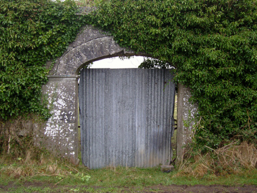 Dalganparkwalled garden · 1.2 mi
 Pesooge PlantationForest · 1.8 mi
 European YewEuropean Yew · 2.2 mi
 Bawn in BlindwellBawn · 2.9 mi
 Shrule Castle in ruinsCastle, hall-house · 2.9 mi
 Mass RockNamed rock · 4.2 mi
 Ross Errilly FriaryHeritage attraction · 6.2 mi
 Kilcoona Round TowerHeritage attraction · 7.1 mi
 Otter IslandIslet · 9.3 mi