What is recorded here
In poorly drained soil, with marsh on all side with ground sloping up to the NW. ‘Castle Warren’ (KK015-014002-) is located 500m to the NNE. A rectangular area, (48m NE-SW, 29m NW-SE), enclosed by low, wide bank (Wth 3m; int. H 0.5m; ext. H 0.5m) and external fosse (Wth 3m; D 0.3m). There is no visible trace of an entrance but it may be in the NW quadrant which is obscured by densely overgrown bushes. The monument is divided by a modern field fence, running NW-SE. There are traces of a rectangular building (KK015-015001-) in the interior.
Compiled by: Jean Farrelly
Date of upload: 24 February 2016
This remains an important historical record, but the official description says the monument is no longer visible or has been destroyed. The monument record does not grant public access. Check the route and ask the landowner before entering private land.
- What survives
- No visible remains or recorded as destroyed
Places near here
 Saint Scuithin's Catholic Churchchurch/chapel · 997 yd
 IndicatedEnclosure · 1354 yd
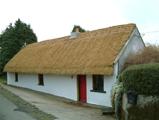 Maherhouse · 1488 yd
 Site of Tiscoffin ChurchChurch · 1.2 mi
 Freneystown CastleCastle, tower house · 1.4 mi
 St. Mogarra’s WellSpring · 2.5 mi
 Clara CastleCastle, tower house · 2.7 mi
 SycamoreSycamore · 3.1 mi
 HawthornHawthorn · 3.2 mi
 Saint Molagga's WellSpring · 5.7 mi
 Time CapsuleMemorial · 8.0 mi
 Tullaherin Church and Round TowerVisitor information · 8.4 mi