
What is recorded here
Oboy is the local name for Castletown, where Strongbow gave Ui Buidhe to Robert de Bigarz before 1176 and Hugh de Lacy built a castle in 1182. The mound still rises ten to twelve metres above the undulating fields, with stone steps and a seat cut into its south-east slope. A house garden occupies the possible bailey, while the old defence has become a boundary for ordinary life.
In undulating countryside. Castletown was the manorial centre of Ui Buidhe (Oboy), which was the pre-Norman territory given to Robert de Bigarz by Strongbow before 1176 (Orpen 1911-20, iii, 105). Giraldus Cambrensis records that Hugh de Lacy built a castle in 1182 for Robert de Bigarz at Oboy, close to Timahoe (Scott and Martin 1978, 195). After 1245 it passed to William de Cantilupe and was obtained by John de Hastings in 1283 (Sweetman 1875-86, ii, no. 2107). In 1348 the Earl of Pembroke received 30s. yearly from the burgesses of Castletown and returns from the hundred of the town. (PRO1916, 128). There is no mention of Castletown after 1348 until the late-sixteenth century (Urban Survey 1986, 19). Remains include a flat-topped conical mound (summit diam. 6.5; base diam. c. 30m; H c. 10-12m) enclosed by a low gapped bank on summit. Steep-sided to W, N and E. Stone steps and a stone-built seat are set into the mound at SE. A cottage to S and farm buildings to SW have caused some disturbance. Slight remains of the fosse and external bank to N where the modern road skirts the motte. Possible bailey, now landscaped to SE of the motte where the ground is raised some 1-2m above the level of the surrounding fields. This area is enclosed by fences and at present forms the garden of Castletown House.
Compiled by: Caimin O'Brien
Date of upload: 17 December 2007
Robert de Bigarz was granted the territory of Castletown, including the moated site, by Richard "Strongbow" de Clare before 1176 as part of the Anglo-Norman settlement of Leinster. The site is historically significant as an early example of Norman land distribution and manorial control in Ireland.
The monument record does not grant public access. Check the route and ask the landowner before entering private land.
- What survives
- Recorded monument
Places near here
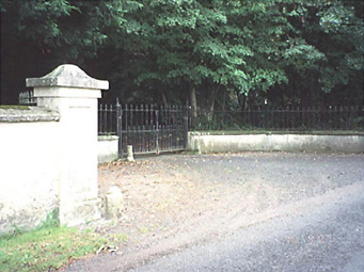 Castletown Houserectory/glebe/vicarage/curate's house · 48 yd
 Castletown Church (Killabban)church/chapel · 242 yd
 Ballylehane CastleCastle, unclassified · 1481 yd
 Enclosure in MaidenheadEnclosure · 1516 yd
 Enclosure in CoolanowleEnclosure · 1622 yd
 New Castle in ruinsCastle, unclassified · 1.7 mi
 Pedunculate OakPedunculate Oak · 4.4 mi
 Killeshin ChurchVisitor information · 5.0 mi
 Neil HannonMemorial · 5.1 mi
 DM PenderMemorial · 5.1 mi
 European Crab AppleEuropean Crab Apple · 5.1 mi
 Kilgorey Old BurialVisitor information · 6.6 mi
Other information
Photo: Credit not shown in the picture search · Rights wording not checked; contact us if this picture should be removed