
What is recorded here
Enclosure in Mirehill is a subcircular area 39m by 37m, defined by a scarp and external fosse from SSW through W to NNE, located 220m NE of a ringfort in County Galway. A laneway cuts it at NE and SSW, two field walls radiate west, and field-clearance rubble lies piled inside at E beside an associated CBG. The rest has vanished without surface trace, leaving only a broken circle where a whole life may have turned.
Some 220m NE of a ringfort (GA042-200----). A subcircular area (N-S 39m, E-W 37m) defined by a scarp and external fosse from SSW through W to NNE. No visible surface trace survives elsewhere. A laneway cuts the monument at NE and SSW, and two field walls radiate from it to W. Field-clearance rubble is piled within the interior at E, and a CBG (GA042-199001-) is associated.
The above description is derived from the published 'Archaeological Inventory of County Galway Vol. II - North Galway'. Compiled by Olive Alcock, Kathy de hÓra and Paul Gosling (Dublin: Stationery Office, 1999).
Date of upload: 05 August 2010
The monument record does not grant public access. Check the route and ask the landowner before entering private land.
- What survives
- Recorded monument
Places near here
 Enclosure in Cloonee (clare By.)Enclosure · 367 yd
 Cahermore FortFairy fort / earthen ringfort · 822 yd
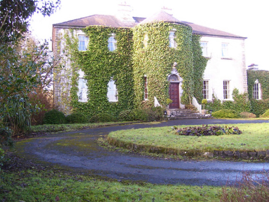 Lisdonagh Househouse · 932 yd
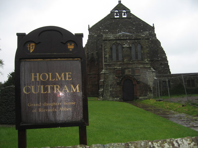 AbbeytownHouse, 18th/19th century · 1379 yd
 Shrule Castle in ruinsCastle, hall-house · 1.8 mi
 Shrule CastleCastle · 1.8 mi
 Pesooge PlantationForest · 2.7 mi
 Cregg PlantationForest · 2.8 mi
 Ross Errilly FriaryHeritage attraction · 2.9 mi
 Kilcoona Round TowerHeritage attraction · 3.9 mi
 Walsh's IslandIslet · 5.6 mi
 Otter IslandIslet · 6.7 mi
Other information
Photo: Credit not shown in the picture search · Rights wording not checked; contact us if this picture should be removed