What is recorded here
A circular ring-ditch visible as a crop mark on an aerial photograph (SMR file; pers. comm. T. Condit).
Compiled by: David O’Connor
Date of upload: 5 November 2013
The monument record does not grant public access. Check the route and ask the landowner before entering private land.
- What survives
- Recorded monument
Places near here
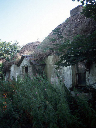 Ivy Lodgehouse · 128 yd
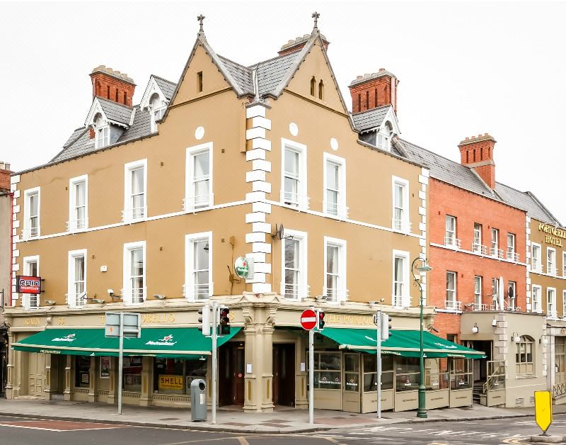 Cist in MilvertonCist · 515 yd
 Enclosure in LoughlandEnclosure · 518 yd
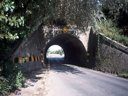 bridgebridge · 636 yd
 Skerries RockMemorial · 1742 yd
 Flat cemetery in BalcunninFlat cemetery · 1.0 mi
 Castle (in ruins)Castle, Anglo-Norman masonry castle · 1.0 mi
 Skerries Harbour and BeachVisitor information · 1.2 mi
 Skerries BeachVisitor information · 1.2 mi
 Shenick IslandIslet · 1.7 mi
 Black Hill NurseryWood · 1.8 mi
 Colt IslandIslet · 1.8 mi