What is recorded here
Fairy forts hide plain sight, but this is a human ringfort on a Monaghan drumlin, its earthen bank still standing after centuries of rain and plough. The conifers drop needles into a small central platform that may have held a hut, while the southeast ramp still marks the entrance people used to leave the ordinary world behind. Milltown lives beside it now, busy and forgetful, yet the circle keeps its shape on the ridge like a promise nobody signed.
Located on one of the summits of an E-W drumlin ridge. This is a circular domed area (diam. 36m NNE-SSW; 35m WNW-ESE) planted in coniferous trees which is defined by a re-shaped earthen bank (at S: Wth of base 1.8m; int. H 0.5m; ext. H 1.3m), with a drain at its outer base WNW-N-ENE but there is no evidence of a fosse. The original entrance is probably the ramp (Wth of base 1.2m) at SE. There is a circular platform (diam. 12m N-S; 12m E-W) H 0.3m) at the centre that could be a hut-site.
The above description is derived from the published 'Archaeological Inventory of County Monaghan' (Dublin: Stationery Office, 1986). In certain instances the entries have been revised and updated in the light of recent research.
Revised by: Michael Moore
Date of revision: 18 June 2018
The monument record does not grant public access. Check the route and ask the landowner before entering private land.
- What survives
- Recorded monument
Places near here
 Hut site in MilltownHut site · 4 yd
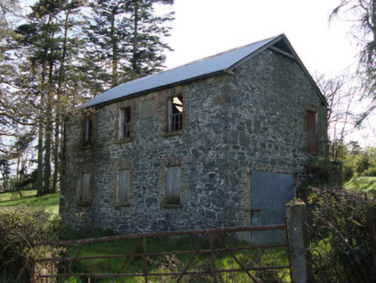 Unshinagh National Schoolschool · 1041 yd
 IndicatedFairy fort / earthen ringfort · 1549 yd
 Drumkeen Presbyterian Churchchurch/chapel · 1.2 mi
 LisnaspeenanMountain / peak · 1.9 mi
 Fedd HillMountain / peak · 2.3 mi
 Rabbitburrow WoodWood · 2.7 mi
 Dartrey ForestForest · 2.8 mi
 Roosky Castle (Site of)Castle, ringwork · 4.8 mi
 Jaundice WellSpring · 6.7 mi
 Bawn in DrumsheilBawn · 6.8 mi
 Senator Billy Fox 1939 - 1974Memorial · 7.9 mi