
What is recorded here
Located in a relatively level location (c. 95m OD) in a gently undulating landscape now characterised by tillage and pastoral farming, and on land that slopes very gently from NE-SW towards the Fuer River c. 730ms to SW. Sited towards the centre of a field currently in use for tillage purposes (Apple Maps; accessed July 2023). Located c. 720m NE of the remains of a castle (LA025-020001-) adjacent to a bridge over the Fuer River, and c. 1.4kms SW of a church (LA026-003----) and associated graveyard (LA026-003001-) sited at Rahin to the NW periphery of the village of Ballylynan. This enclosure is faintly visible as a cropmark on Apple Maps (accessed July 2023) and on Google Earth (June 2018) imagery of the area. It consists of an irregular oval feature (est. ext. dims c. 76.8m N-S x 42.5m E-W) that is defined by a ditch (est. Wth c. 2.4m) that can largely be traced along its entire circuit on the Apple Maps imagery (accessed July 2023). No definitive evidence for an entrance gap although the ditch is less clear to the centre of the E arc with a faint possible cropmark trackway running away from the site to the E.
Compiled by: T.J. O'Meara based on details provided by Jean-Charles Caillère
Uploaded on: 14/07/2023
See attached:
LA025-071----_01 Apple Maps imagery (accessed July 2023)
LA025-071----_02 Google Earth imagery (June 2018)
The monument record does not grant public access. Check the route and ask the landowner before entering private land.
- What survives
- Recorded monument
Places near here
 Enclosure in MilltownEnclosure · 437 yd
 Enclosure in BallycormanEnclosure · 549 yd
 Bawn in MilltownBawn · 758 yd
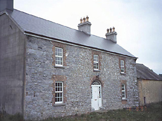 Milltown Househouse · 766 yd
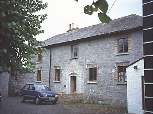 court housecourt house · 1442 yd
 Ballylehane CastleCastle, unclassified · 1.3 mi
 DM PenderMemorial · 3.2 mi
 Brackney WoodForest · 4.3 mi
 Cobbler's Castle WalkWalking route · 4.8 mi
 Mass Rock WalkWalking route · 4.8 mi
 Ernest ShackletonMemorial · 4.8 mi
 Town HallMuseum · 4.8 mi
Other information
Photo: Credit not shown in the picture search · Rights wording not checked; contact us if this picture should be removed