
What is recorded here
In tillage. A roughly square enclosure (dims. c. 42m E-W; c. 38m N-S on the E side, tapering to c. 34m on the W side) visible as a cropmark on Google Earth (imagery date 28 June 2018), identified and reported by Simon Dowling. The enclosure is indicated as a small field or haggard associated with a farm on the 1st ed. OS 6-inch map and subsequent revision. While the farmyard and all the immediately surrounding small fields have been levelled, only the square enclosure is clearly defined as a cropmark, suggesting it had a much deeper fosse. It is possible that this enclosure pre-dates the farmyard and in the 18th or 19th century was subsequently incorporated into it.
See attached Google Earth image taken 28 June 2018
Compiled by: Jean Farrelly
Date of upload: 9 April 2019
The monument record does not grant public access. Check the route and ask the landowner before entering private land.
- What survives
- Recorded monument
Places near here
 Enclosure in BallycormanEnclosure · 388 yd
 Enclosure in MilltownEnclosure · 397 yd
 Bawn in MilltownBawn · 769 yd
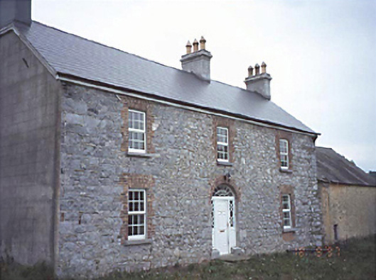 Milltown Househouse · 793 yd
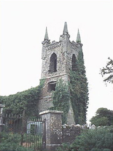 Rathaspick Churchchurch/chapel · 1147 yd
 Ballylehane CastleCastle, unclassified · 1.0 mi
 DM PenderMemorial · 3.5 mi
 Brackney WoodForest · 4.5 mi
 Gone FishingMemorial · 4.9 mi
 Town HallMuseum · 5.0 mi
 Cobbler's Castle WalkWalking route · 5.0 mi
 Mass Rock WalkWalking route · 5.0 mi
Other information
Photo: Credit not shown in the picture search · Rights wording not checked; contact us if this picture should be removed