What is recorded here
In level pasture. No visible surface trace except slight depression in field. Indicated on latest edition OS six-inch map as circular area (map dims. 27m N-S; 25m E-W) with fosse at N. Enclosure (TS070-058----) located 400m to SSW. According to Cahill (1982) the monument had been levelled by 1982.
Compiled by: Jean Farrelly
Date of upload: 26 August 2011
The monument record does not grant public access. Check the route and ask the landowner before entering private land.
- What survives
- Recorded monument
Places near here
 mill (water)mill (water) · 625 yd
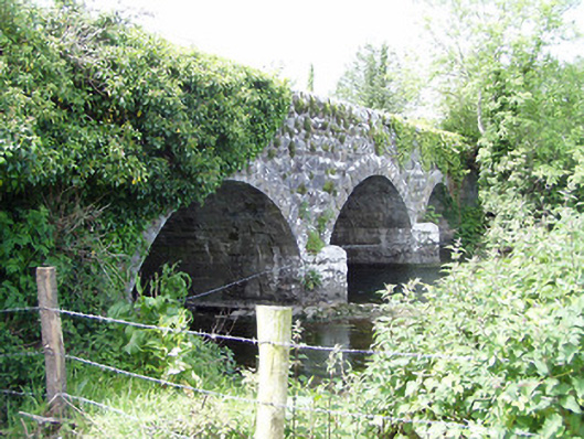 Melbourne Bridgebridge · 653 yd
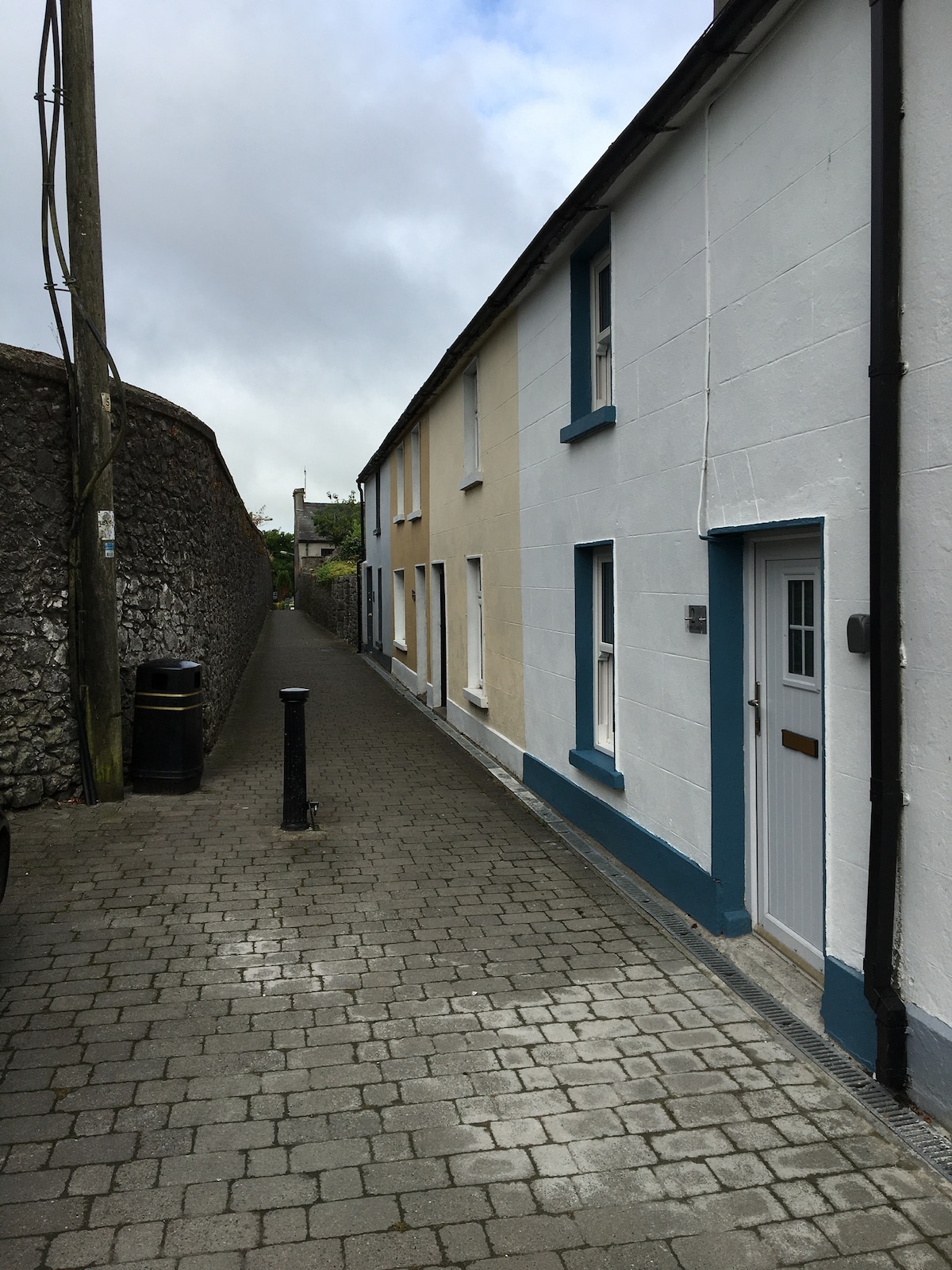 Enclosure in MilestownEnclosure · 729 yd
 Enclosure in Ballinard (cloneen Par.),milestownEnclosure · 1050 yd
 Ballinard CastleCastle, tower house · 1148 yd
 Clare Castle (in ruins)Castle, hall-house · 1.2 mi
 CarrigdotiaMountain / peak · 2.4 mi
 CarrickbrockMountain / peak · 2.9 mi
 East GateMemorial · 3.4 mi
 Silver FirSilver Fir · 3.4 mi
 Grove WoodForest · 3.5 mi
 The Thatchhouse · 1083 yd