What is recorded here
Middle Division in County Antrim still holds a rath marked only as RATH. The name resists explanation, but the land remembers the shape of human life. A ring of soil, a buried gate or a forgotten boundary may have lived there before records appeared.
The official Northern Ireland record identifies this as RATH. Recorded period: E.CHRIST.. The official map point was placed at the centre of the recorded archaeological site from the source map reference.
The monument record does not grant public access. Check the route and ask the landowner before entering private land.
- What survives
- Recorded monument
Places near here
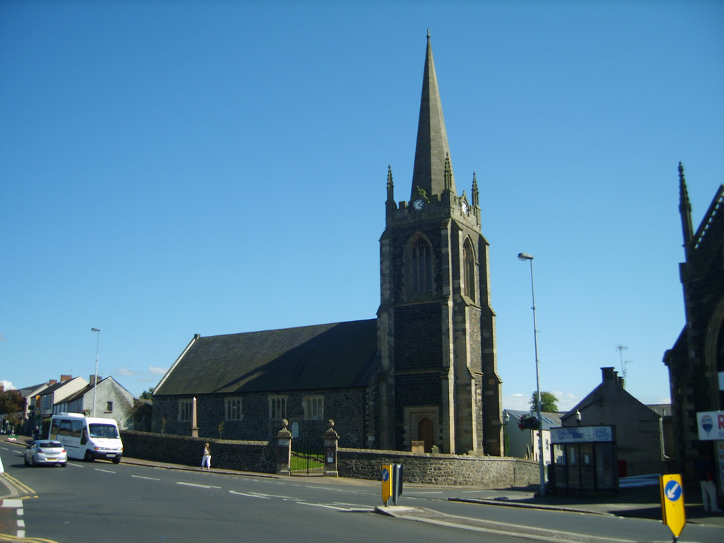 CHURCH (site of); GRAVEYARD & ENCLOSURE: CARNRAWSIE or CARNRAWSY or CARNRAWSIE CHURCH or CARNRAWSY CHURCH or RASSIE or CARNTAWSY in Middle DivisionCHURCH (site of); GRAVEYARD & ENCLOSURE: CARNRAWSIE or CARNRAWSY or CARNRAWSIE CHURCH or CARNRAWSY CHURCH or RASSIE or CARNTAWSY · 701 yd
 A.P. SITEA.P. SITE, enclosure? · 1.0 mi
 US RangersMemorial · 1.7 mi
 Carrickfergus Railway StationRailway Station Structures · 1.8 mi
 Siege of Carrickfergussiege · 1.9 mi
_-_geograph.org.uk_-_1734777.jpg?width=1280) Joymount Presbyterian ChurchChurch · 1.9 mi
Joymount Presbyterian ChurchChurch · 1.9 mi Carrickfergus MuseumMuseum · 1.9 mi
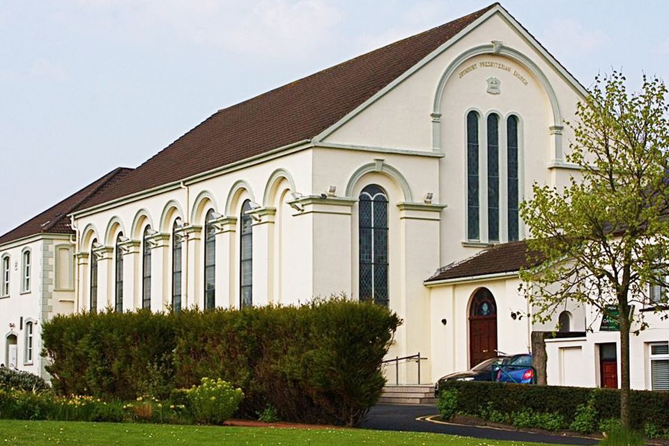 FORTIFIED HOUSE built on FRANCISCAN FRIARY: JOYMOUNT in CarrickfergusFORTIFIED HOUSE built on FRANCISCAN FRIARY: JOYMOUNT · 1.9 mi
 MEDIEVAL PARISH CHURCH, POST-MED. & MODERN CHURCH & GRAVEYARD: ST NICHOLAS' CHURCH, ST NICHOLAS OF CRAGFERGUS in CarrickfergusMEDIEVAL PARISH CHURCH, POST-MED. & MODERN CHURCH & GRAVEYARD: ST NICHOLAS' CHURCH, ST NICHOLAS OF CRAGFERGUS · 1.9 mi
 Andrew Jackson Cottage and US Rangers CentreHeritage attraction · 2.0 mi
 Battle of Carrickfergus (1760)Major battlefield · 2.1 mi
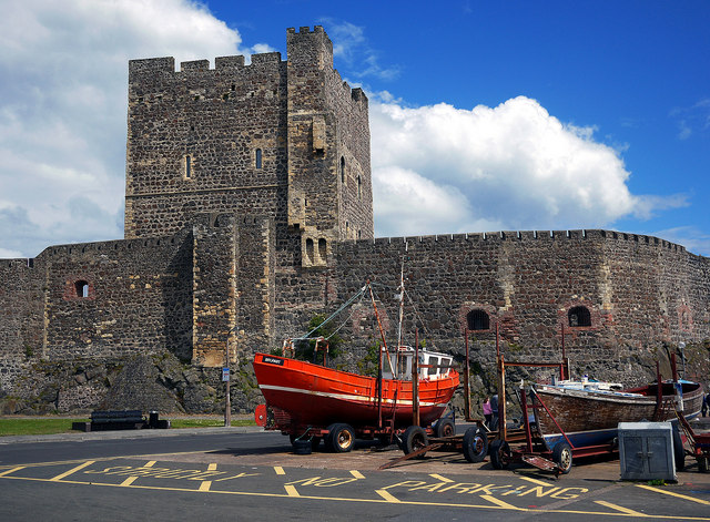 CARRICKFERGUS CASTLE in CarrickfergusCARRICKFERGUS CASTLE · 2.1 mi