What is recorded here
Located on the N shoreline of Inishcottle Island, a drumlin island, which lies close to the mainland in the inner NE reaches of Clew Bay.
This midden is exposed in section at the interface of the land-edge and the shoreline. The land-edge takes the form of a vertical earthen scarp (H 0.8-1m), topped with a post and wire fence, which defines the N end of a pasture field. It drops directly to the boulder-strewn, gravelly shoreline. The midden is visible at the base of the scarp. It consists of a dense concentration (D 0.3m) of oyster shells, which can be traced for c. 12m E-W. The upper levels of the shell layer are mixed with lenses of black, charcoal-rich soil. The midden is obscured, in parts, by over-hanging vegetation, collapsed sections of the scarp, and by shoreline boulders. The E end of the layer is poorly preserved, with short sections (L c. 2m) eroded out by tidal action.
Attachments:
MA076-046----_01.JPG Midden viewed from N
MA076-046----_02.JPG Charcoal-rich soil in the upper levels of midden
MA076-046----_03.JPG Location viewed from NW
Compiled by: Jane O'Shaughnessy
Date of upload: 12 February 2018
The monument record does not grant public access. Check the route and ask the landowner before entering private land.
- What survives
- Recorded monument
Places near here
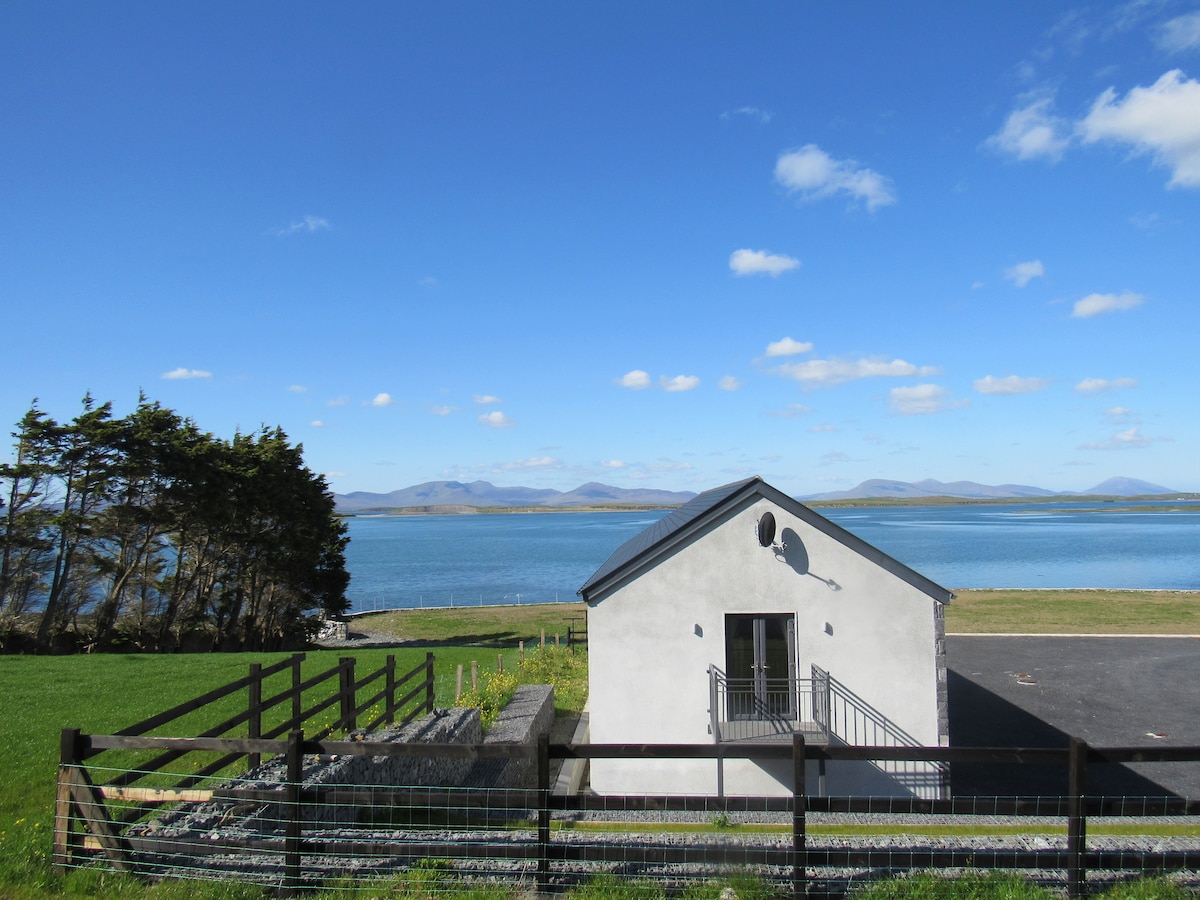 InishcottleIslet · 117 yd
 Carrigeenglass NorthIslet · 900 yd
 Ross PointHeadland · 1.1 mi
 Rossanrubble PointHeadland · 1.4 mi
 Church (in Ruins)Church · 1.5 mi
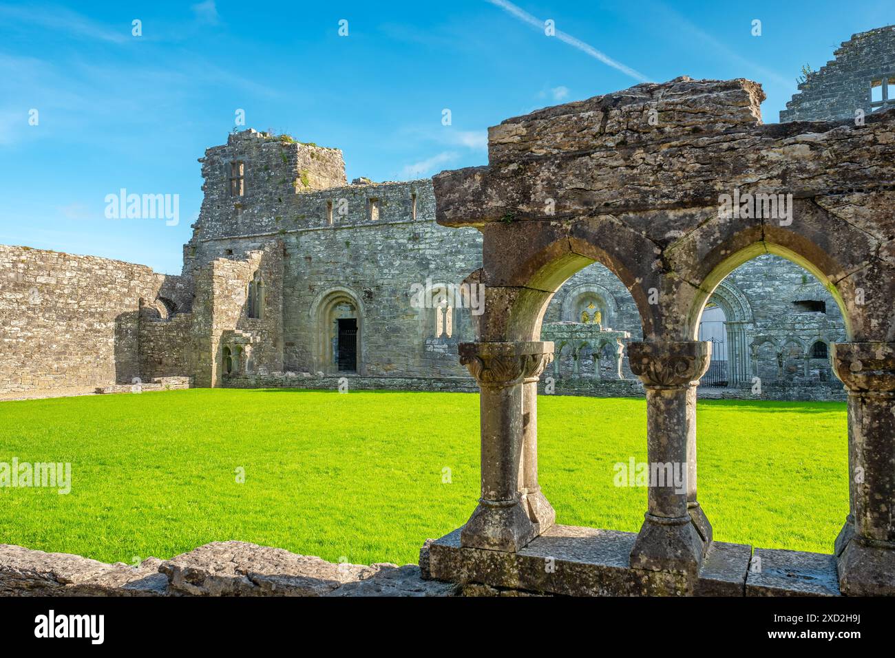 Enclosure in RassakeeranEnclosure · 1.7 mi
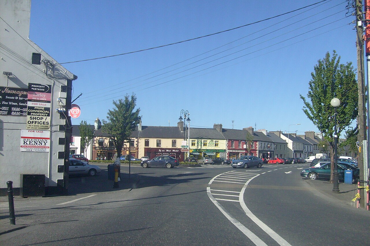 Caslte LeaffyCastle · 1.9 mi
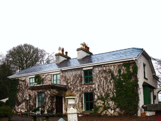 Ross Househouse · 2.0 mi
 IndicatedEnclosure · 2.4 mi
 Site of Bawn CastleCastle, unclassified · 3.6 mi
 Barrett's HillMountain / peak · 4.3 mi
 Barrett's WoodWood · 4.4 mi