What is recorded here
Above the earliest sampled crannog occupation (ME005-088008-) a path (L c. 2.7m) consisting of planks laid transversely on two runners placed 0.9m apart approaches the mound from the N at the NE edge, probably from a jetty during Phase X. It leads to an occupation platform laid on a peat base, but a palisade retaining this peat base has not been identified. A re-used plank from the path produced a dendrochronological felling-date of c. 625 AD. This level consisted of a round hut (ME005-088010-) with a metalworking area (ME005-088011-) to the W and another to the NE of the hut, between it and the path. The working area to the NE consisted of a charcoal spread (dims 4.2m x 4m; max. T 0.06m), and two pits. Artefacts recovered included a poorly fired, coil-built pottery vessel, pieces of baked clay, crucible and mould fragments, and three motif-pieces. (Bradley 1985-6, 83-5; 1990-1, 23-6; 1991, 18-22; O’Sullivan 1998, 106-07)
Compiled by: Michael Moore
Date of upload: 6 September 2018
The monument record does not grant public access. Check the route and ask the landowner before entering private land.
- What survives
- Recorded monument
Places near here
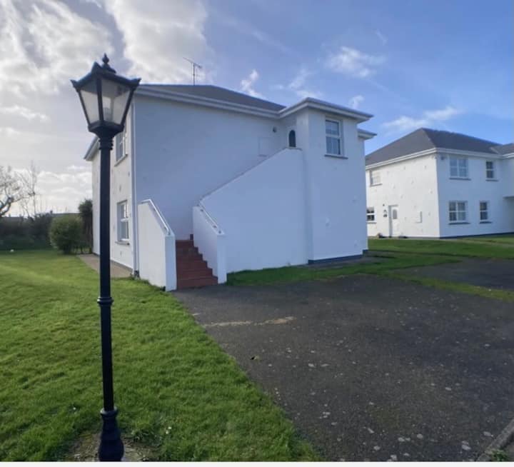 Enclosure in BrittasEnclosure · 509 yd
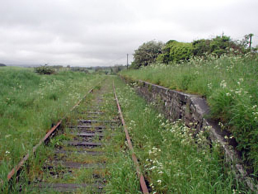 Nobber Railway Stationplatform · 560 yd
 Nobber GreenwayMemorial · 564 yd
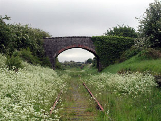 bridgebridge · 567 yd
 Cross in NobberCross · 622 yd
 MoatCastle, motte and bailey · 701 yd
 Common LimeCommon Lime · 759 yd
 Cherburg WoodForest · 1222 yd
 Gallows HillMountain / peak · 1419 yd
 Ugly HillMountain / peak · 1.6 mi
 Bawn in Robertstown (kells Lower By.)Bawn · 2.4 mi
 Owenroe and Moynalty DrainageMemorial · 3.1 mi