What is recorded here
Naas East lost a possible altar stone inscribed J.M. 1647, once tied to St David's Church but now absent from its known place. The stone may have marked worship, ownership or mourning, yet even its final resting point has slipped from human memory. What remains is a gap shaped like a stone, waiting for someone to remember where it went.
A possible altar stone inscribed 'J.M. 1647', but now missing from St David's Church (KD019-030020-) according to Bradley et al. (1986 vol. 4, 363). (Comerford 1880-83, 104). Record number KD019-030045- was created for the unknown, present location of this monument.
Compiled by: Gearóid Conroy
Date of upload: 10 June 2011
The monument record does not grant public access. Check the route and ask the landowner before entering private land.
- What survives
- Recorded monument
Places near here
 Sunday WellHoly well · 352 yd
 Naas General Hospitalworkhouse · 385 yd
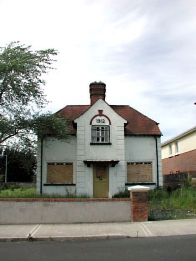 Ballycane Househouse · 496 yd
 South Moat, Ordnance Ground, Fair GreenCastle, motte · 506 yd
 CastleCastle, tower house · 665 yd
 Not indciatedTown defences · 671 yd
 Poplar SquarePicnic place · 731 yd
 Monread District Park WoodsWood · 1.2 mi
 Naas ParkWood · 1.3 mi
 Museum of MotorsportMuseum · 4.6 mi
 Cupidstown HillMountain / peak · 6.8 mi
 Saggart HillMountain / peak · 7.8 mi