What is recorded here
No visible fort remains in Mell, only a hidden D-shaped shadow beneath the soil. That missing shape, rather than a proud ruin, is what makes the place memorable.
Located towards the bottom of an E-facing slope. The cropmark of a D-shaped enclosure (dims c. 35m NE-SW; c. 30m NW-SE) defined by a single continuous fosse (Wth c. 1-2m) and with the straight side at SW is visible only on Apple Maps, which utilises a survey conducted by Bluesky International during June 2018. In the vicinity are the cropmarks of drains associated with field banks that are largely marked on the 1907 edition of the OS 6-inch map, and the curved portion of the perimeter at NE is represented as a curved field bank and townland boundary with Hill of Rath townland to the N on the same map. It was first reported by Anthony Murphy.
See the attached enhanced view from Apple Maps
Compiled by: Michael Moore
Date of upload: 24 January 2020
The monument record does not grant public access. Check the route and ask the landowner before entering private land.
- What survives
- Recorded monument
Places near here
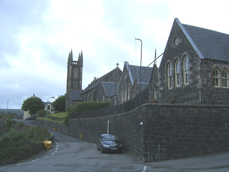 Tobar na SolaisHoly well · 626 yd
 Man-made underground passage in MellMan-made underground passage · 925 yd
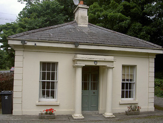 Killineer Housegate lodge · 1304 yd
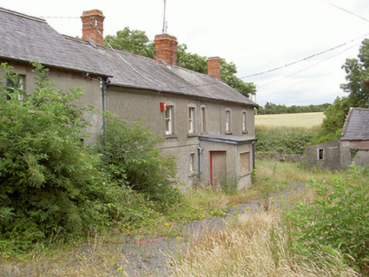 farm housefarm house · 1493 yd
 Grove IslandIslet · 1.4 mi
 Yellow IslandIslet · 1.5 mi
 Battle of the Boyne Visitor CentreMuseum · 1.6 mi
 Battle of the BoyneMajor battlefield · 1.6 mi
 European YewEuropean Yew · 1.7 mi
 Quarry Garden WoodForest · 2.0 mi
 Drummond TowerCastle · 2.2 mi
 Proudfootstown CastleCastle, unclassified · 2.3 mi