What is recorded here
Half a kilometre west of Mintlaw, a low stone ring marks the lost boundary of a fairy fort. The wall is short enough to jump, yet the ground inside feels heavier, as if the earth still remembers the shape of what vanished. People walked past it without thinking, but the stones kept their own time, waiting for someone quiet enough to hear them.
Situated on a slight rise in a coniferous forest on the SE side of the SW-NE Scardan river valley with the main stream c. 160m to the NW and a secondary stream immediately to the E. Circular area (ext. diam. 25m N-S; 25m E-W) defined by a stone spread (Wth 2-7m), overlain by a drystone wall (Wth 1m; H 0.5m) S-W-NE. The Man-made underground passage (LE012-033002-) is in the interior.
The above description is derived from 'The Archaeological Inventory of County Leitrim' compiled by Michael J. Moore (Dublin: Stationery Office, 2003). In certain instances the entries have been revised and updated in the light of recent research.
Date of upload: 23 September 2008
The monument record does not grant public access. Check the route and ask the landowner before entering private land.
- What survives
- Recorded monument
Places near here
 Sweat Ho.Sweathouse · 450 yd
 CashelFairy fort / stone ringfort · 856 yd
 The Giants GraveArchaeological place · 1.6 mi
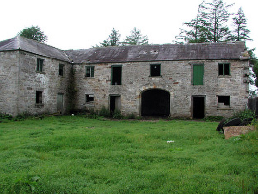 Hollymountoutbuilding · 2.1 mi
 Ballaghnabehy TopMountain / peak · 2.2 mi
 Cloonclare Church (in Ruins)Church · 2.5 mi
 Giants RockNamed rock · 3.1 mi
 BenboMountain / peak · 4.2 mi
 Ashisland WoodForest · 5.8 mi
 Longhill WoodForest · 6.0 mi
 Castle CarCastle · 6.1 mi
 Republican Garden of RemembranceMemorial · 7.0 mi