What is recorded here
Half a kilometre from the last farm lane, a cashel stands inside coniferous forest on a south-facing slope above the Scardan valley. Its rebuilt stone wall encloses twenty metres of bare grass, while a hidden passage enters the earth southeast of the centre. The fort may have been a stronghold, a shrine or a boundary marker, but its shape still separates human life from the surrounding woods.
Situated on a S-facing slope towards the head of the SW-NE Scardan river valley. Circular, grass-covered area (int. diam. 20.7m N-S; 21m E-W), which remains unplanted in a coniferous forest, defined by a drystone wall (Wth 1m; H 1.5m) that is largely rebuilt. There is an entrance gap (Wth 0.5m), probably not original, at NNW, and the entrance to the Man-made underground passage (LE012-025002-) is SE of the centre.
The above description is derived from 'The Archaeological Inventory of County Leitrim' compiled by Michael J. Moore (Dublin: Stationery Office, 2003). In certain instances the entries have been revised and updated in the light of recent research.
Date of upload: 23 September 2008
The monument record does not grant public access. Check the route and ask the landowner before entering private land.
- What survives
- Recorded monument
Places near here
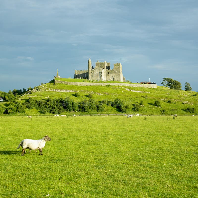 CashelFairy fort / stone ringfort · 174 yd
 Sweat Ho.Sweathouse · 833 yd
 The Giants GraveArchaeological place · 1.1 mi
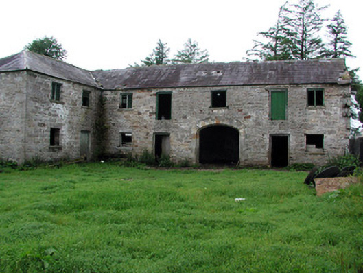 Hollymountoutbuilding · 1.6 mi
 Cloonclare Church (in Ruins)Church · 2.1 mi
 Ballaghnabehy TopMountain / peak · 2.4 mi
 Giants RockNamed rock · 2.7 mi
 BenboMountain / peak · 3.8 mi
 Green IslandIslet · 5.1 mi
 Kilroosk RockNamed rock · 5.1 mi
 Ashisland WoodForest · 5.3 mi
 Longhill WoodForest · 5.5 mi