
What is recorded here
Inishturk, named for wild boars in its Irish title, has resisted continental forgetfulness since 4000 BCE. Fifty-six people still navigate its sheltered southern villages, sustaining the smallest primary school in Ireland and a community centre that doubles as library and pub. The island now protects native honey bees and maintains a helipad for emergency evacuation, proving that remoteness can become resilience rather than abandonment.
Inishturk is recorded as a island in County Mayo. Its open map record supplies this location and any linked names or public references.
Inishturk is a small island located off the coast of County Mayo, Ireland, known for its historical connection to early Christian monastic settlements. It is notable for the remains of a 12th-century church and a holy well, reflecting its significance in medieval religious life.
Places near here
 IndicatedEnclosure · 602 yd
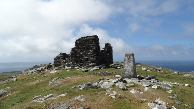 Inishturk Signal TowerRuins · 677 yd
 DoonEnclosure · 856 yd
 Chapel (ruins)Church · 1181 yd
 InishdallaIslet · 2.2 mi
 Ballybeg IslandIslet · 2.8 mi
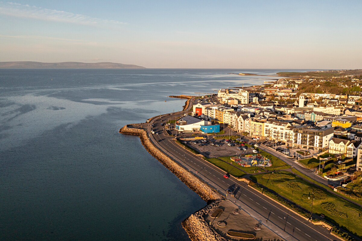 East End BeachBeach / strand · 6.3 mi
 Lyon HeadHeadland · 6.6 mi
 InishlyonMountain / peak · 6.7 mi
 Drumhach BeachBeach / strand · 6.7 mi
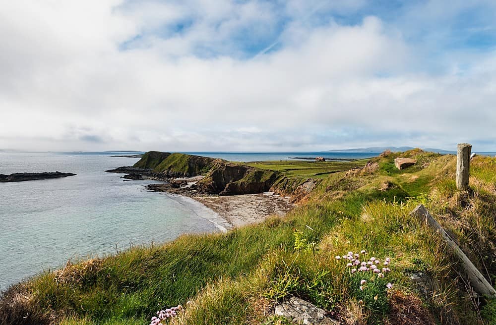 Rinvyle PointHeadland · 6.9 mi
 InishbofinIsland · 7.1 mi
Other information
Photo: Towel401 · CC BY-SA 4.0