What is recorded here
Rathnaboogh is a early medieval ringfort in Gortaneden, County Mayo, where a 1.4-metre scarp and faint internal lip still outline a 22-metre enclosure that ploughing and weather have worn for centuries. Its south-east face is reinforced with boulders, a nearby field bank may echo an outer defence, and hawthorn, blackthorn and hazel have grown around the perimeter until the boundary belongs as much to the trees as to the people who first shaped it. Another rath stands forty metres north, a possible motte one hundred and twenty metres south, suggesting a small cluster of occupied or contested ground rather than a lonely relic.
Rathnaboogh is recorded as a archaeological place in County Mayo. Its open map record supplies this location and any linked names or public references.
Places near here
 RathmoreCastle, motte · 179 yd
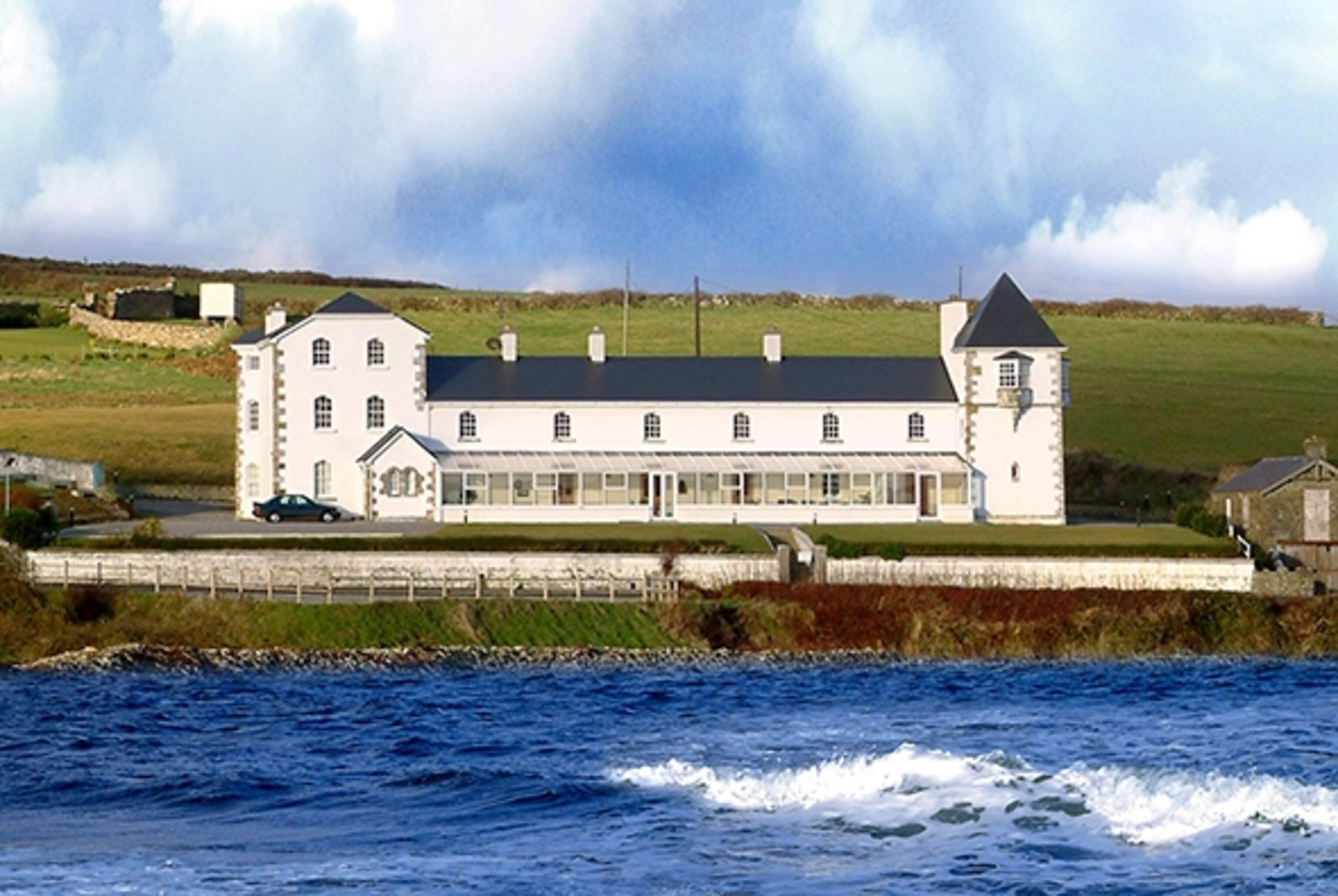 RathmacostelloFairy fort / earthen ringfort · 429 yd
 Grave of the KingsArchaeological place · 806 yd
 Catholic Church of Our Ladychurch/chapel · 995 yd
 Church in ruinsChurch · 1038 yd
 RathduffFairy fort / earthen ringfort · 1224 yd
 Ballyduffy CastleCastle, unclassified · 2.3 mi
 Castle IslandIslet · 3.0 mi
 Titanic Memorial ParkMemorial · 3.2 mi
 Roe IslandIslet · 3.3 mi
 NephinMountain / peak · 4.0 mi
 KnockaffertaghMountain / peak · 7.0 mi