What is recorded here
Half a mile from the last road, Rathcartron keeps its shape beneath grass and memory. The name still belongs to the ringfort, though the ring has given way to field and weather. In the early medieval period it may have held a family, a herdsman, or a child learning the shape of storm light. What is certain is that the land remembered the boundary long after the hands that made it stopped being certain about anything at all.
Rathcartron is recorded as a archaeological place in County Mayo. Its open map record supplies this location and any linked names or public references.
Places near here
 RathcartronFairy fort / earthen ringfort · 9 yd
 Cloontafinna FortArchaeological place · 346 yd
 Farmhill Housewalled garden · 860 yd
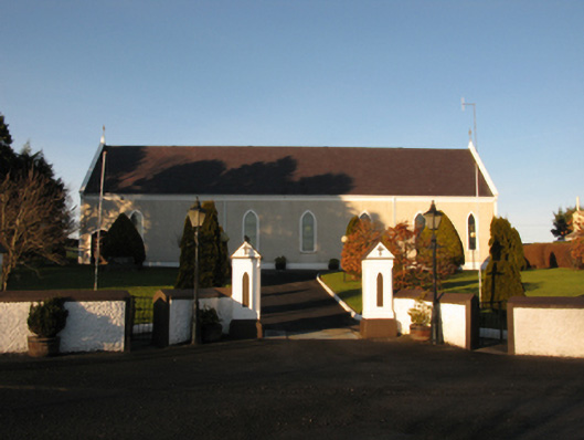 Catholic Church of the Sacred Heartchurch/chapel · 1.4 mi
 Rathroe CastleCastle · 1.6 mi
 Carn Castle (in Ruins)Castle, unclassified · 2.5 mi
 Lisheen Grave YardArchaeological place · 2.7 mi
 PollatarriveCliff · 7.4 mi
 BlowholeCliff · 7.5 mi
 Céide FieldsArchaeological place · 7.6 mi
 Céide Fields Visitor CentreVisitor information · 7.9 mi
 Ceide FieldsHeritage attraction · 7.9 mi