What is recorded here
Half the fort is gone, taken by water and time, leaving a curved earthen bank beside the path on Lough Leane. What remains is a shallow bowl of soil and grass, wide enough to walk across but no longer tall enough to hide inside. The lake did not break it in a night; it sipped the cliff until the circle became a curve.
On the N side of a pathway, on the NW shore of Lough Leane. This rath is indicated on the 1846 OS 6-inch map as a circular enclosure (diam. c. 30m). The present remains consist of a roughly semicircular area (dim. c. 14m N-S) defined by an earthen bank (Wth 1.7m; int. H 0.6m; ext. H 0.8m) W-ENE and incorporated into the field boundary system. A linear scarp (H 1.4m) formed by a pathway (WSW-ENE) defines the straight side at S (L c. 32m). The interior slopes down gently to the S. In the 1930s Capt. D. B. O'Connell recorded that the southern half of the rath had been 'destroyed by the erosion of the cliff...over the Lake' (SMR file). A bullaun stone (KE066-059002-) is 1.5m to the S. This is probably one of the two raths recorded in the 1840s in the SW end of the townland (OSNB, Aghadoe, no. 1, 46).
Compiled by: Elizabeth Byrne, Ursula Egan and Sheila Ronan, Archaeological Survey Unit, University College, Cork.
Date of upload: 31 January 2011
The monument record does not grant public access. Check the route and ask the landowner before entering private land.
- What survives
- Recorded monument
Places near here
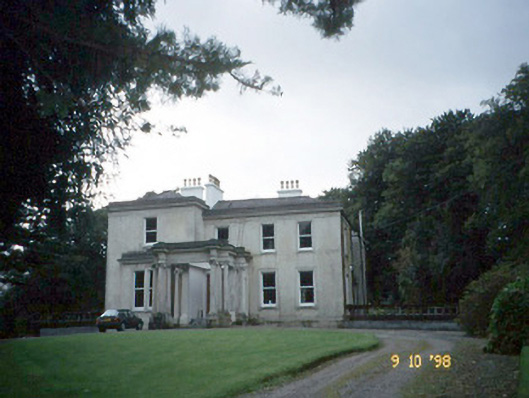 Lakeviewhouse · 444 yd
 Killalee Church (in Ruins)Church · 1116 yd
 Fulacht FianFulacht fia · 1208 yd
 Enclosure in Dromin (magunihy By., Lahard Ed)Enclosure · 1594 yd
 Castle (in Ruins)Castle, tower house · 1.4 mi
 Japanese pagoda treeJapanese pagoda tree · 1.4 mi
 Rabbit or Brown IslandIslet · 1.4 mi
 CastleCastle, tower house · 1.6 mi
 Dunloe Ogham StonesHeritage attraction · 1.7 mi
 O'Sullivan's CascadeWaterfall · 1.9 mi
 Aghadoe Early Medieval Ecclesiastical SiteHeritage attraction · 2.0 mi
 InnisfallenIsland · 2.1 mi