What is recorded here
The large enclosure in Manselstown is in County Tipperary, Ireland. It is a broad oval roughly 90 metres north to south and 75 metres east to west. A ditch visible as a cropmark in satellite imagery defines it. The Drish River flows about 100 metres to the north. Field boundaries immediately north and west were levelled between June 2018 and April 2020, while another boundary runs north to south along the east side.
The Drish River flows c. 100m to the N, in tillage. A large oval enclosure (overall dims. c. 90m N-S; c. 75m E-W), defined by a fosse which is visible as a cropmark on satellite imagery (Bing), identified and reported by Jean-Charles Caillère. Field boundaries immediately N and W of the enclosure were levelled between June 2018 and April 2020. Another field boundary runs roughly N-S along the E side of the monument. A ringfort (TN042-014----) lies c. 160m to the NW on the opposite side of the river.
Compiled by: Jean Farrelly
The monument record does not grant public access. Check the route and ask the landowner before entering private land.
- What survives
- Recorded monument
Places near here
 Enclosure in Piercetown (rahelty Par.)Enclosure · 1583 yd
 Castle (in Ruins)Bawn · 1.1 mi
 Enclosure in Castletown (moyne Par.)Enclosure · 1.1 mi
 Bawn in Castletown (moyne Par.)Bawn · 1.5 mi
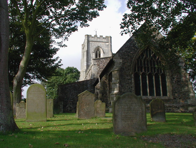 Rahelty Church (in Ruins), Grave YardChurch · 1.5 mi
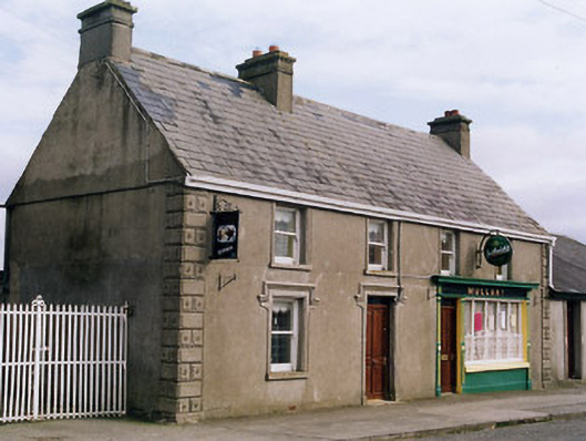 Mullanyhouse · 1.7 mi
 European ashEuropean ash · 4.0 mi
 St. Mary's Famine and War MuseumMuseum · 4.3 mi
 Famine & War MuseumMuseum · 4.4 mi
 Byrnes's WoodsForest · 4.7 mi
 Horse and JockeyVisitor information · 6.9 mi
 Gobban Saer's GraveArchaeological place · 7.7 mi