What is recorded here
'This structure, perhaps more a hut than a hut site , is D-shaped in plan and is built primarily with sandstone blocks, though a small amount of limestone is used in the upper courses. The walls stand to between 1.1m and 2m high and the interior measures 2m NW-SE and 3m NE-SW. The internal area is covered with loose stone, which has presumably fallen from the walls. The walls are generally 60cm wide and a clearly defined entrance, 50cm wide, is found a the northeast end of the northwest wall.'
The above description is derived from R. Sherlock, Northwest Co. Cavan Survey. An archaeological survey of northwest Cavan: the other Burren (2007), p. 148.
Date of upload: 15 November 2012
The monument record does not grant public access. Check the route and ask the landowner before entering private land.
- What survives
- Recorded monument
Places near here
 Rocking StoneArchaeological place · 268 yd
 IndicatedEnclosure · 738 yd
 Cavan Burren ParkForest · 878 yd
 Dolines/SinkholesCave · 988 yd
 Boulder GraveyardArchaeological place · 1050 yd
 Cavan BurrenHeritage attraction · 1063 yd
 BurrenMountain / peak · 1143 yd
 Legnaveagh SinkholeCave · 1256 yd
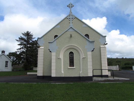 St Felim’s Roman Catholic Churchchurch/chapel · 1760 yd
 CullentraghMountain / peak · 1.1 mi
 Marlbank ViewpointViewpoint · 1.4 mi
 SETTLEMENT: STONE ENCLOSURES [FIELD SYSTEM] AND HOUSE PLATFORMS in ClyhannaghSETTLEMENT: STONE ENCLOSURES [FIELD SYSTEM] AND HOUSE PLATFORMS · 2.0 mi