What is recorded here
In pastureland. This is one of two cropmarks of possible ring-ditches (diam. c. 8-10m) that are visible on satellite imagery (© Here Maps). They were identified and reported to the Survey by Jean-Charles Caillère. The second cropmark (GA104-0299002-) is visible c. 33m to the NE.
The following image has been uploaded:GA104-299001---_01.jpg Here Maps
Compiled by: Olive Alcock
Date of upload: 24 September 2020
The monument record does not grant public access. Check the route and ask the landowner before entering private land.
- What survives
- Recorded monument
Places near here
 Ardnamoran ChurchChurch · 251 yd
 St. Cronans Holy WellHoly well · 489 yd
 LisheenodayFairy fort / earthen ringfort · 533 yd
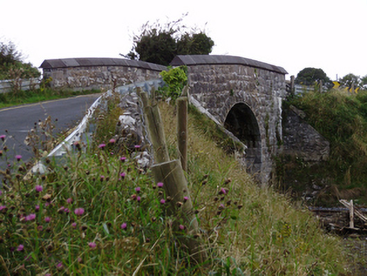 bridgebridge · 641 yd
 CarnanthomasCastle, unclassified · 1.6 mi
 Cloghroak Castle (in ruins)Castle, tower house · 1.6 mi
 Moyard WoodWood · 4.6 mi
 Kilcornan ForestWood · 4.9 mi
 Drumharsna CastleHeritage attraction · 5.5 mi
 Mulroney's IslandIslet · 8.7 mi
 Fiddaun IslandIslet · 8.9 mi
 Mweenish PointHeadland · 9.0 mi