What is recorded here
Under the southern half of a Cork ringfort, men drove a narrow stone throat into the earth, perhaps to hide loot, perhaps to breathe when fire came. Hartnett followed the collapsed shadow in 1930, but the chamber keeps its distance still. Seven decades of rain have silted the corbelled walls, yet the depth remains written in the dropped ground above. What the builders feared, or worshipped, has drowned back into the soil.
In S half of ringfort (CO050-065001-). Investigated by Hartnett in 1930. McCarthy (1977, 274) recorded 'passage, stone-built (Wth 0.7m; H 0.75m). Walls irregularly coursed, corbelled. Some of capstones 20cm below surface'. Collapsed ground now indicates position.
The above description is derived from the published 'Archaeological Inventory of County Cork. Volume 3: Mid Cork' (Dublin: Stationery Office, 1997). In certain instances the entries have been revised and updated in the light of recent research.
Date of upload/revision: 14 January 2009
The monument record does not grant public access. Check the route and ask the landowner before entering private land.
- What survives
- Recorded monument
Places near here
 DolmenMegalithic tomb · 501 yd
 Fulacht fia in Kilmartin UpperFulacht fia · 775 yd
 Saint Bartholomew's WellSpring · 1700 yd
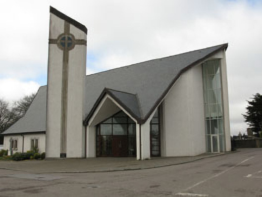 church/chapelchurch/chapel · 1.0 mi
 monumentmonument · 1.1 mi
 New TipperaryVisitor information · 2.0 mi
 Oldcastle WoodWood · 3.3 mi
 Knockduff Wind FarmVisitor information · 3.8 mi
 Knockcraugh HillMountain / peak · 4.5 mi
 Ballyvodane Castle (in Ruins)Castle, unclassified · 4.5 mi
 Carrignamuck Tower HouseCastle · 4.7 mi
 Mullinhassig WaterfallWaterfall · 5.1 mi