What is recorded here
Situated on the N face of a natural hillock. Earthworks (WM017-019----/WM017-020----) 160m and 200m to SSE and SE respectively. Local information suggests that a ‘cave’ was found at the bend in the road when it was being constructed. This road is also forms the townland boundary with Lisnacask. No trace of a Man-made underground passage is now visible at this location.
Compiled by: Frank Coyne and Caimin O'Brien
Date of upload: 13 February 2018
The monument record does not grant public access. Check the route and ask the landowner before entering private land.
- What survives
- Recorded monument
Places near here
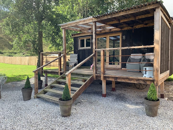 Hut site in BigfurzeHut site · 665 yd
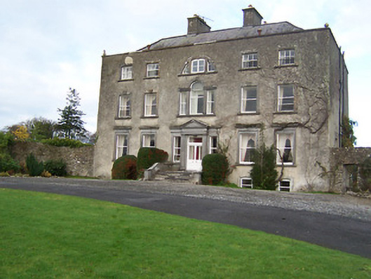 Mearscourt Housecountry house · 1017 yd
 Partially indicatedFairy fort / ringfort · 1187 yd
 Rathcastle Househouse · 1345 yd
 Site of CastleCastle, unclassified · 1468 yd
 Milltown Castle in ruinsCastle, unclassified · 1.7 mi
 Ancient Ring FortWood · 2.1 mi
 Sessile OakSessile Oak · 3.2 mi
 Abbeyshrule AbbeyRuins · 3.9 mi
 Craft WorkshopHeritage attraction · 5.4 mi
 Guest ServicesVisitor information · 5.4 mi
 Noughaval CemeteryArchaeological place · 8.6 mi