What is recorded here
Mullymagowan rath in County Cavan still holds a long rectangular depression extending southwest from its house site, with a second chamber branching off at a right angle. The shape suggests people dug beneath the ground rather than leaving a natural hollow. They may have stored grain, hidden tools or simply enjoyed the cool dark beneath the mound. The earth kept the outline while human memory faded.
Situated within Mullymagowan rath (CV026-058001-). A well-defined, long rectangular depression extending SW from the house site in the interior of the rath, with a second depression opening off its SE side at a right angle. Most likely the site of a Man-made underground passage.
The above description is derived from the published 'Archaeological Inventory of County Cavan' (Dublin: Stationery Office, 1995). In certain instances the entries have been revised and updated in the light of recent research.
Date of upload/revision: 22 December 2008
The monument record does not grant public access. Check the route and ask the landowner before entering private land.
- What survives
- Recorded monument
Places near here
 AghadreenaghMountain / peak · 1556 yd
 Raven's RockNamed rock · 1581 yd
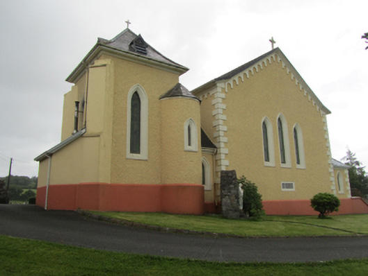 St Dymphna's Roman Catholic Churchchurch/chapel · 1.0 mi
 Saint Dympna's CrossWayside cross · 1.1 mi
 CliffernaMountain / peak · 1.5 mi
 Fairy fort / stone ringfort in KillymeehanFairy fort / stone ringfort · 2.2 mi
 Cromwell's CampArchaeological place · 2.3 mi
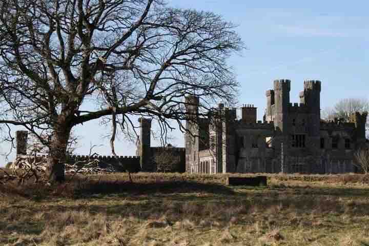 RavenswoodForest · 2.5 mi
 Ancient Order of Hibernians MemorialMemorial · 2.8 mi
 Killymeehan ForestForest · 3.0 mi
 To The Memory of P.J. DukeMemorial · 3.4 mi
 The GPO ExhibitionMuseum · 4.9 mi